What is recorded here
Situated at the crest of a NE-facing slope down to a canalised WNW-ESE section of the Clonard River, which is c. 320m to the N. It is depicted on the undated manuscript map (2161, (48)) in NLI, and it is represented as a small copse on the 1836 and 1912 editions of the OS 6-inch map. This is a circular grass-covered mound (diam. of base 31m N-S; 30m E-W; H 3.4m E-S to 4.7-5.2m W-N) surrounded by an earth bank (Wth c. 2m; H 0.3-0.5m) with an outer ditch.
From the National Monuments Service (Archaeological Survey of Ireland) record ME047-009
Places near here
Photo credits
- National Inventory of Architectural Heritage
- Andreas F. Borchert, Wikimedia Commons · CC BY-SA 4.0
- Robin Pollard, Wikimedia Commons · CC BY 3.0
- Garry Dickinson, Geograph · CC BY-SA 2.0
- Malene Thyssen, Wikimedia Commons · CC BY-SA 3.0
- Alvesgaspar, Wikimedia Commons · CC BY-SA 3.0
- James Allan, Wikimedia Commons · CC BY-SA 2.0
- DiggingSpace, Wikimedia Commons · CC BY-SA 4.0
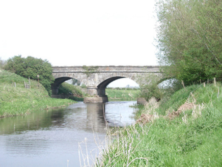 Leinster BridgeBridge · 681 yd
 Saint Finian's Church (Clonard)Church/chapel · 749 yd
 Site of AbbeyChurch · 750 yd
.jpg/250px-Croppies_Grave_Clonard_-_panoramio_(1).jpg "Photo: Robin Pollard, Wikimedia Commons · CC BY 3.0") Croppies' GraveMemorial · 918 yd
Croppies' GraveMemorial · 918 yd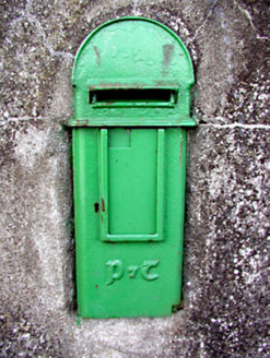 post box926 yd
 CastleCastle, motte · 1037 yd
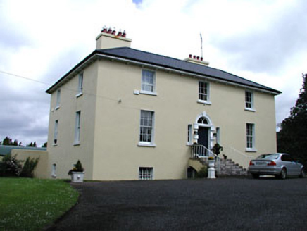 Glebe HouseRectory/glebe/vicarage/curate's house · 1301 yd
 Font (present location) in TowlaghtFont (present location) · 1446 yd
 European Beech4.0 mi
 Common Lime4.0 mi
 Donore CastleCastle · 4.1 mi
 Castletown HouseHeritage attraction · 20 mi
More archaeology and monuments in County Meath · All of County Meath

What do you know about this place?Tap to add a comment or ask a question