
What is recorded here
Not marked on the 1837 OS edition of the OS 6-inch map. Depicted on the 1911 edition as a subcircular enclosure. Situated on a S-facing slope within an area of sand dunes. It has probably been obscured by shifting sands as it was not located during fieldwork.
Compiled by: Patrick F. O'Donovan
Date of upload: 07 March 2013
A local fairy fort (ringfort/rath); wider significance not recorded.
The monument record does not grant public access. Check the route and ask the landowner before entering private land.
- What survives
- Recorded monument
Places near here
 Classiebawn Castlegate lodge · 244 yd
 Unbaptised Children MonumentMemorial · 381 yd
 Classiebawn WoodsWood · 1062 yd
 Mullaghmore Harbourharbour/dock/port · 1327 yd
 assassination of Louis Mountbatten, 1st Earl Mountbatten of Burmaassassination · 1441 yd
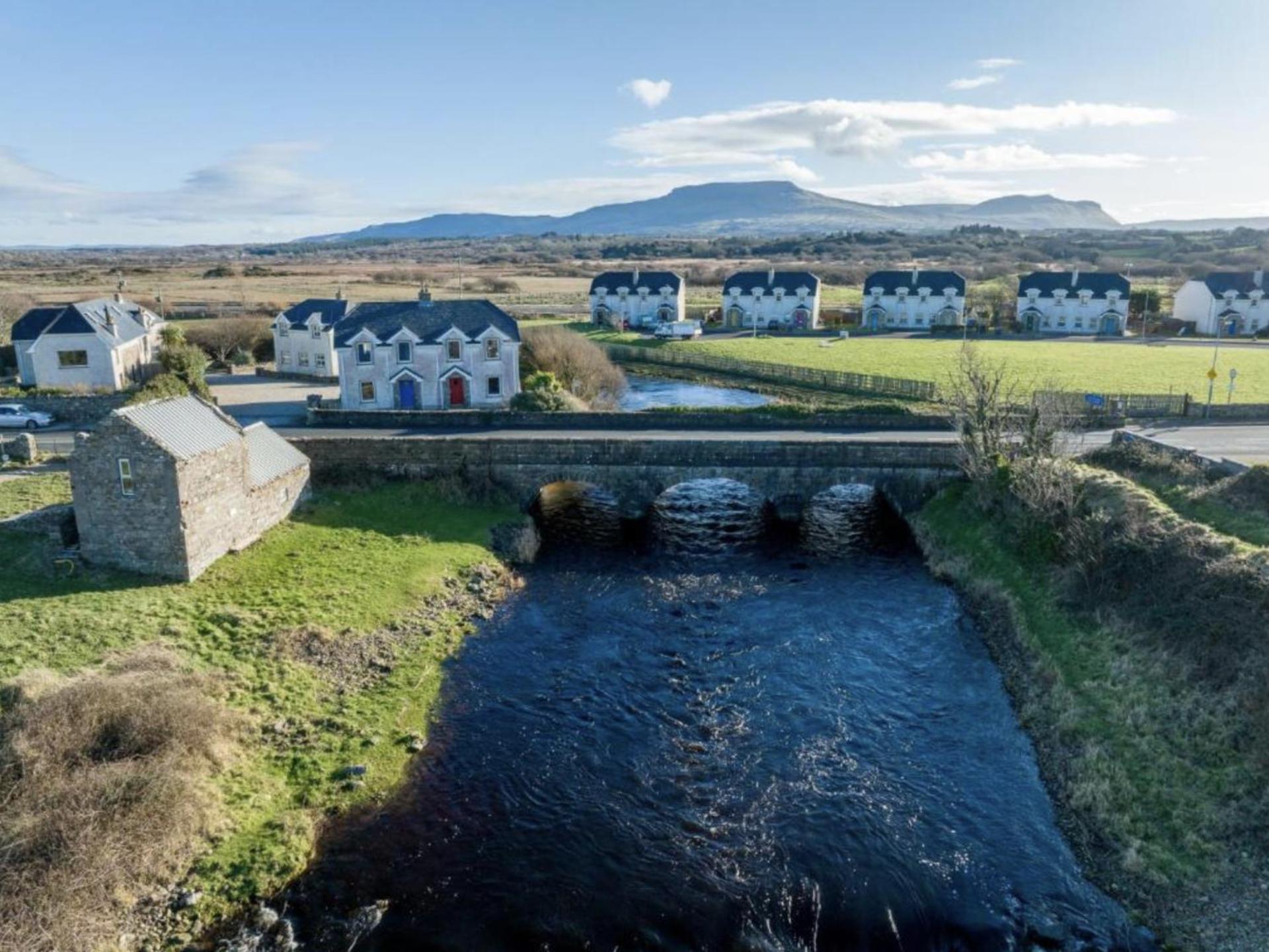 Promontory fortPromontory fort, coastal · 1548 yd
 Mullaghmore HeadVisitor information · 1.0 mi
 Wild Atlantic Way: Mullaghmore HeadVisitor information · 1.0 mi
 Enclosure in BunduffEnclosure · 1.0 mi
 Trawalua StrandBeach / strand · 1.3 mi
 Creevykeel Court TombNeolithic court tomb · 1.6 mi
 Connors IslandIsland · 3.8 mi
Other information
Photo: Credit not shown in the picture search · Rights wording not checked; contact us if this picture should be removed