
What is recorded here
On slight N-facing slope, just off summit of a narrow E-W ridge in pasture. Not marked on the 1837 edition of the OS 6-inch map but depicted on the 1912 edition as a circular hachured area (diam. c.12m). The site has been levelled leaving no visible surface trace at ground level.
Compiled by: Patrick F. O'Donovan
Date of upload: 21 April 2011
A local fairy fort (ringfort/rath); wider significance not recorded.
The monument record does not grant public access. Check the route and ask the landowner before entering private land.
- What survives
- Recorded monument
Places near here
 IndicatedFairy fort / stone ringfort · 866 yd
 Enclosure in CreevykeelEnclosure · 1198 yd
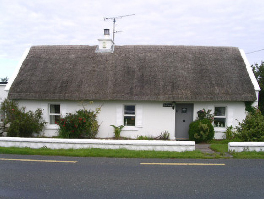 The Cottagehouse · 1282 yd
 Unbaptised Children MonumentMemorial · 1463 yd
 Creevykeel Court TombNeolithic court tomb · 1554 yd
 Classiebawn WoodsWood · 1670 yd
 Classiebawn Castlegate lodge · 1738 yd
 assassination of Louis Mountbatten, 1st Earl Mountbatten of Burmaassassination · 1.2 mi
 Wild Atlantic Way: Mullaghmore HeadVisitor information · 1.8 mi
 Mullaghmore HeadVisitor information · 1.8 mi
 Trawalua StrandBeach / strand · 1.8 mi
 Giant's GraveArchaeological place · 3.7 mi
Other information
Photo: Credit not shown in the picture search · Rights wording not checked; contact us if this picture should be removed