What is recorded here
Indicated is a fairy fort or earthen ringfort in Moyvannan, County Roscommon, Ireland. It occupies a circular overgrown area thirty-seven point four metres across on a rise in an undulating landscape. An earth and stone bank with internal facing-stones defines the perimeter, while an outer fosse separates it from traces of an external bank largely obscured by field stones. A narrow entrance without a causeway opens at the southeast, and another rath lies close to the northwest where its bank cuts the Indicated perimeter.
On a rise in an undulating landscape. Circular overgrown area (diam. 37.4m ENE-WSW) defined by an earth and stone bank with internal facing-stones (at SW: Wth 6.3m; int. H 1.25m; ext. H 1.8m) separated by an outer fosse (at SW: Wth of top 6m; Wth of base 1.4; D 0.55m) from traces of an external bank which is largely obscured by field stones. There is an entrance (Wth 1.4m), but no causeway, at SE. The perimeter at NW is cut by the bank of rath (RO048-049001-) which lies immediately to the NW and which appears to infringe on this monument. Rath (RO048-050----) is c. 180m to the E.
Compiled by: Michael Moore
Date of upload: 24 August 2010
The monument record does not grant public access. Check the route and ask the landowner before entering private land.
- What survives
- Recorded monument
Places near here
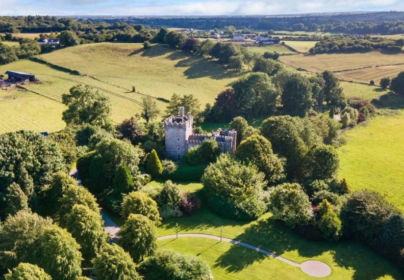
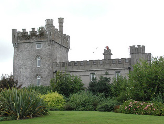 Moyvannan Castlecountry house · 411 yd
 IndicatedFairy fort / earthen ringfort · 867 yd
 Kiltoom ChurchChurch · 1332 yd
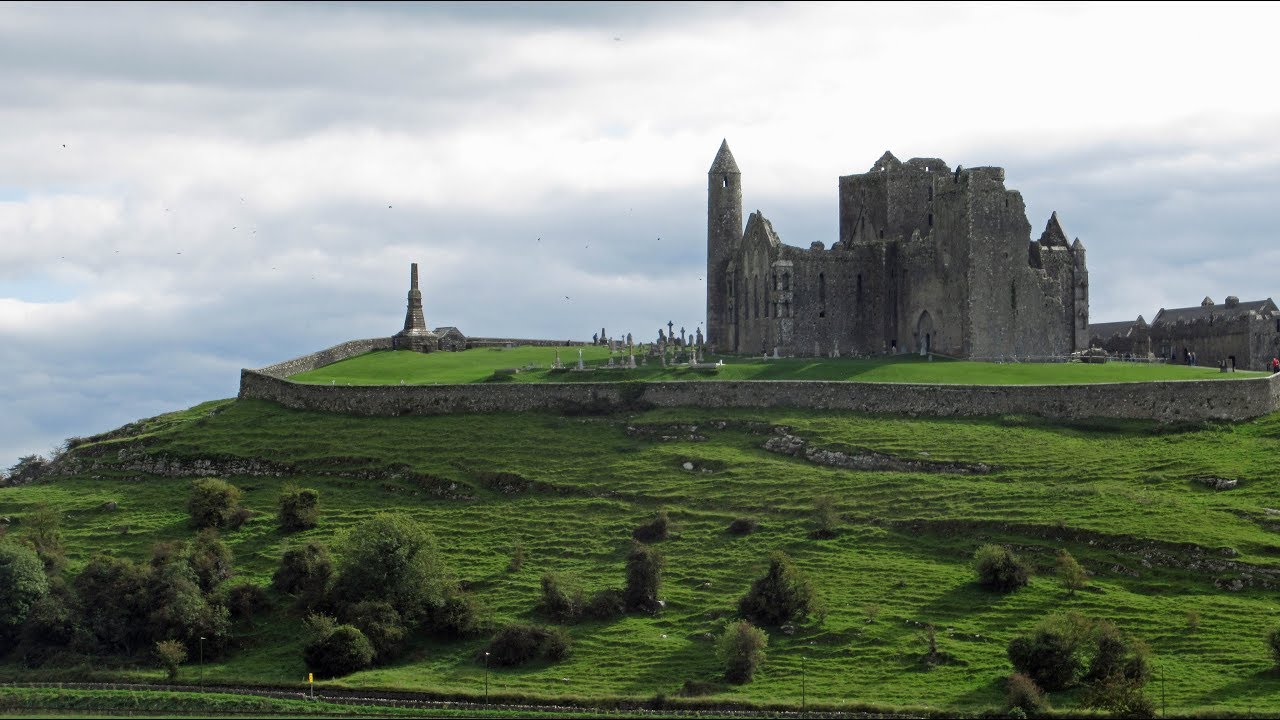 Mass-rock in KiltoomMass-rock · 1352 yd
 Carnagh BayBay · 1.5 mi
 Long IslandIslet · 1.7 mi
 Little IslandIslet · 1.8 mi
 Bally BayBay · 1.8 mi
 Curraghboy CastleCastle, unclassified · 2.6 mi
 RindoonWood · 4.3 mi
 Rindown CastleCastle, Anglo-Norman masonry castle · 4.4 mi
 Siege of Athlonesiege · 4.9 mi