What is recorded here
Situated W of the Clodiagh River. A water mill is marked in this area on the Down Survey parish map. The site, which stood in a farm complex, has been completely levelled and there are no visible remains. Vol. 1 - North Tipperary' compiled by Jean Farrelly and Caimin O'Brien (Dublin: Stationery Office, 2002).
From the National Monuments Service (Archaeological Survey of Ireland) record TN046-005
Places near here
Photo credits
- National Inventory of Architectural Heritage
- Garry Dickinson, Geograph · CC BY-SA 2.0
- dougf, Wikimedia Commons · CC BY-SA 2.0
- Wanfried-Dublin, Wikimedia Commons · CC BY-SA 4.0
- Hajotthu, Wikimedia Commons · CC BY-SA 3.0
- Dublin Castle RIC, Wikimedia Commons · Public domain
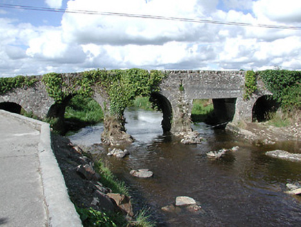 Ballyoughter BridgeBridge · 179 yd
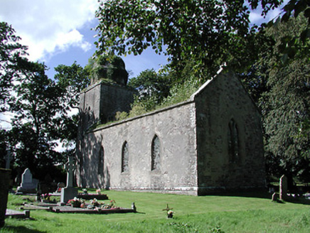 Drumbane Church (Moyaliff)Church/chapel · 676 yd
 Coolkill Church (site of)Church · 1.0 miKnockaneMountain / peak · 2.5 miDrum WoodWood · 2.8 miPallas HillMountain / peak · 3.0 miCormackstown Heritage CentreMuseum · 3.0 mi
 CastleCastle, motte and bailey · 3.0 mi
 Ballynahow CastleCastle · 3.6 mi
.jpg/250px-KnockcurraghbolanCommons-TN39-009_(4).jpg "Photo: Wanfried-Dublin, Wikimedia Commons · CC BY-SA 4.0") Wedge tomb in Knockcurraghbola CommonsWedge tomb · 6.1 mi
Wedge tomb in Knockcurraghbola CommonsWedge tomb · 6.1 mi Hore AbbeyHeritage attraction · 9.8 mi
 Soloheadbeg AmbushAmbush · 13 mi
More historic places in County Tipperary · All of County Tipperary
What do you know about this place?Tap to add a comment or ask a question