
What is recorded here
Indicated is a vanished Mayo ringfort, reduced to a shallow dip and faint bank memory after reclamation erased its boundaries. It once stood between two other raths in open pasture, perhaps marking a boundary, a burial, or a household now lost. The land still holds the shape of what was removed.
Located in gently undulating pasture, with good views.
This possible rath is not indicated on the 1838 OS 6-inch map; it is shown on the 1916 edition as a penannular field/enclosure, open to E, with field boundaries radiating from it to SE, SW, NW and NE. It is also recorded in an aerial photograph (SMR file: GSI M 553 -2; Roll 214, pr. 7).
The enclosure and all adjacent field boundaries were levelled during land reclamation. The outline of a sub-circular, slightly raised area (diam. 55.5m) enclosed by the shallow dip of an infilled fosse, and traces of a levelled outer bank can still be discerned. There is a rath (MA082-024----) 145m to W, and another (MA082-027----) 280m to E.
Compiled by: Jane O’Shaughnessy
Date of upload: 20 December 2021
The monument record does not grant public access. Check the route and ask the landowner before entering private land.
- What survives
- Recorded monument
Places near here
 IndicatedFairy fort / earthen ringfort · 228 yd
 Enclosure in Scregg (costello By., Aghamore Par.)Enclosure · 1422 yd
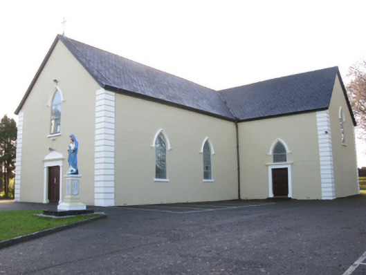 Saint Joseph's Catholic Churchchurch/chapel · 1.1 mi
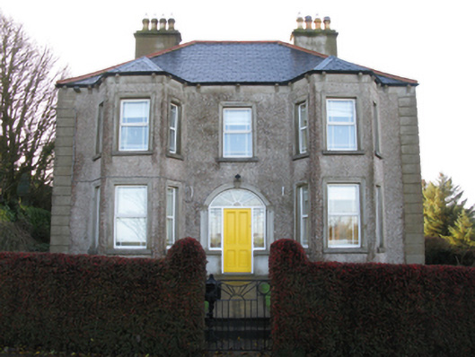 Tighe Achadh Mórhouse · 1.1 mi
 CastleCastle, unclassified · 1.3 mi
 Rath Castle in ruinsCastle, tower house · 1.7 mi
 East Mayo Brigade MonumentMemorial · 3.6 mi
 Knock MuseumMuseum · 5.0 mi
 Knock ShrineHeritage attraction · 5.0 mi
 I'll Send You The FareMemorial · 8.2 mi
 Thorn CaveCave · 9.0 mi
 Oak WoodForest · 11 mi
Other information
Photo: Credit not shown in the picture search · Rights wording not checked; contact us if this picture should be removed