
What is recorded here
In pasture, located on a slight rise.
Slightly raised circular (30m N–S;31m E–W) defined by a low bank (Wth 2-2.5m; int. H 0.2-0.3m; ext. H 0.7-0.8m) of earth and stone, and enclosed at S–WNW by a fosse (Wth 3m) and external bank (Wth 2.4m; int. H 0.6m; ext. H 0.7m). Both banks appear to be largely earthen in construction, but incorporate stones in parts, with a scattering of stones, mostly field clearance, along the top. The outer bank has been levelled at E–S, but a slight surface undulation can still be discerned. The fosse, which is silted up, appears shallow and narrow, and is filled with field clearance debris in parts. A break (Wth 3m) in the inner bank at ESE may indicate the original entrance. The W half of the interior is at a slightly higher level that the E half.
Interior is largely grassy but scattered with hawthorn bushes; hawthorn and blackthorn cover both enclosing banks. There is a rath (MA082-023----) 260m to WNW and another (MA082-025----) 145m to E.
Compiled by: Jane O'Shaughnessy
Date of upload: 2 February 2018
The monument record does not grant public access. Check the route and ask the landowner before entering private land.
- What survives
- Recorded monument
Places near here
 IndicatedFairy fort / earthen ringfort · 358 yd
 Enclosure in Scregg (costello By., Aghamore Par.)Enclosure · 1422 yd
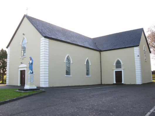 Saint Joseph's Catholic Churchchurch/chapel · 1688 yd
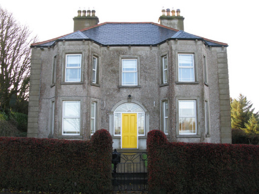 Tighe Achadh Mórhouse · 1.0 mi
 CastleCastle, unclassified · 1.2 mi
 Rath Castle in ruinsCastle, tower house · 1.7 mi
 East Mayo Brigade MonumentMemorial · 3.5 mi
 Knock MuseumMuseum · 4.9 mi
 Knock ShrineHeritage attraction · 4.9 mi
 I'll Send You The FareMemorial · 8.1 mi
 Thorn CaveCave · 8.8 mi
 Oak WoodForest · 11 mi
Other information
Photo: Credit not shown in the picture search · Rights wording not checked; contact us if this picture should be removed