
What is recorded here
Enclosure in Scregg is a possibly vanished oval earthwork in County Mayo pasture, recorded only through an aerial photograph and later blurred by farm work. It may have marked a boundary, a dwelling or a ceremonial edge, yet no wall or trench still declares that purpose. The land has been reordered around it, and the human shape has withdrawn into ambiguity. What remains is a suggestion of enclosure, not a proof, leaving the place to imagine its own forgotten use.
Located in undulating, improved pasture, with rising ground to N and S.
Not indicated on the 1916 OS 6-inch map. Listed in the RMP (1997) as a possible enclosure based on an aerial photograph (GSI M 553 -2; Roll 214, pr. 9), which shows a roughly oval feature/possible earthwork, bordered to E by a farm track. When inspected in 1997, land reclamations works have taken place in the field. The amorphous outline of a raised area (max. dim. c. 30m), resembling a natural rise, is visible. It is not possible to determine whether this is an archaeological monument. The nature of this feature and whether it is archaeologically significant is very uncertain.
Compiled by: Jane O’Shaughnessy
Date of upload: 22 December 2021
The monument record does not grant public access. Check the route and ask the landowner before entering private land.
- What survives
- Recorded monument
Places near here
 IndicatedFairy fort / earthen ringfort · 615 yd
 Caldragh FortFairy fort / stone ringfort · 1126 yd
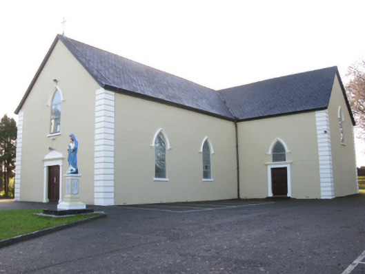 Saint Joseph's Catholic Churchchurch/chapel · 1665 yd
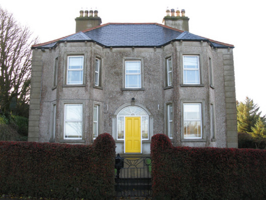 Tighe Achadh Mórhouse · 1.0 mi
 Rath Castle in ruinsCastle, tower house · 1.1 mi
 CastleCastle, unclassified · 1.8 mi
 East Mayo Brigade MonumentMemorial · 3.1 mi
 Knock MuseumMuseum · 5.4 mi
 Knock ShrineHeritage attraction · 5.4 mi
 I'll Send You The FareMemorial · 8.1 mi
 Thorn CaveCave · 8.6 mi
 Oak WoodForest · 12 mi
Other information
Photo: Credit not shown in the picture search · Rights wording not checked; contact us if this picture should be removed