
What is recorded here
In pasture, located on a natural undulation on a SW-facing slope, with a steep fall of ground to to SW–NW, and a more gradually slope to S–SW. Occupies much of the space within the E half of a modern rectangular walled field. The townland boundary coincides with the E arc of the rath.
Slightly raised circular area (46.4m N–S; 47.3m E–W) defined by an earthen bank, and enclosed by a fosse with an external bank.
The inner bank (Wth c. 6m; int. H 1.4m; ext. H 1.7m, at N) is most substantial on the E half. Stone protruding in parts may be the remnants of stone facing. At S–NW it is very low internally but retains a pronounced external slope (H 1.5m at S, 2m at W). The fosse (Wth 3m) is well defined; it is truncated at NE by a quarry pit. The external bank (Wth 3.5-4m; int. H 1.5m at N, 0.1m at S; ext. H 0.65m at N, 0.9m at S) is evident as sod-covered rise, which at S has a broad external slump incorporating boulders at top. It is truncated at NE and at NE-SE by two field walls that form the NE corner of the modern field.
There is a low section of the inner bank at NE (Wth 2.3m) and another at SE (Wth 1.8m) but the location of the original entrance is unclear. A poorly defined, slightly raised area abuts the inner face of the bank at NE, with a heap of loose stone, probably field clearance at its S edge.
The level centre of the interior is defined in a shallow arc on its SE–W side by a broad, stony slope, with ground levelling out again at a lower level (drop in height 1-1.5m) in the S-SW quadrant.
The rath is ringed with hawthorn, blackthorn and brambles; blackthorn scrub is encroaching on the interior at S and clumps of brambles cover the central and E parts of the interior. A remnant of a field fence, on a WNW–ESE axis abuts the rath at W. A small quarry pit has been dug into the ridge slope immediately to SW of the rath.
Compiled by: Jane O’Shaughnessy
Date of upload: 17 December 2021
The monument record does not grant public access. Check the route and ask the landowner before entering private land.
- What survives
- Recorded monument
Places near here
 Enclosure in Scregg (costello By., Aghamore Par.)Enclosure · 615 yd
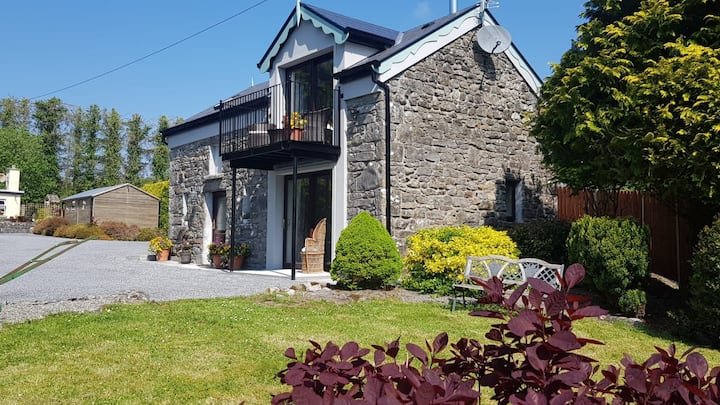 Enclosure in Carrowbaun (costello By.)Enclosure · 1135 yd
 Rath Castle in ruinsCastle, tower house · 1.2 mi
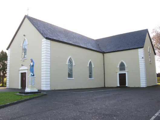 Saint Joseph's Catholic Churchchurch/chapel · 1.3 mi
 Catholic Church of Saint Mary and Saint Michaelchurch/chapel · 1.3 mi
 CastleCastle, unclassified · 2.2 mi
 East Mayo Brigade MonumentMemorial · 3.1 mi
 Knock MuseumMuseum · 5.8 mi
 Kiltimagh MuseumMuseum · 8.2 mi
 I'll Send You The FareMemorial · 8.4 mi
 Thorn CaveCave · 8.7 mi
 Bawn IslandIslet · 15 mi
Other information
Photo: Credit not shown in the picture search · Rights wording not checked; contact us if this picture should be removed