What is recorded here
Built in the sand dunes on the S side of the estuary of the River Boyne. This masonry obelisk is known as the ‘Lady’s Finger’, and was undoubtedly built in conjunction with the Maiden Tower c. 70m to the E, probably during the reign of Queen Elizabeth I. It remains unchanged since it was illustrated by William Wilde (1849, 263). This is a circular, tapering, masonry column (diam. of base c. 1.25m; H c. 8m) with a conical cap that is separated from the stem by a string course. The column rises from a square base (dims 1.6m x 1.5m; H c. 1m).
The above description is derived from the published 'Archaeological Inventory of County Meath' (Dublin: Stationery Office, 1987). In certain instances the entries have been revised and updated in the light of recent research.
Compiled by: Michael Moore
Date of revision: 21 September 2021
The monument record does not grant public access. Check the route and ask the landowner before entering private land.
- What survives
- Recorded monument
Places near here
 Maiden TowerWatchtower · 80 yd
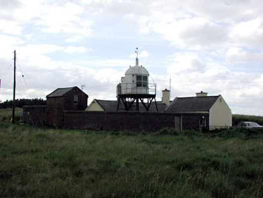 Drogheda North Lighthouselighthouse · 227 yd
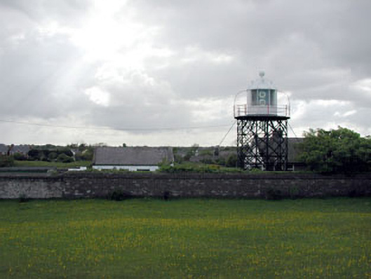 Drogheda West Lighthouselighthouse · 512 yd
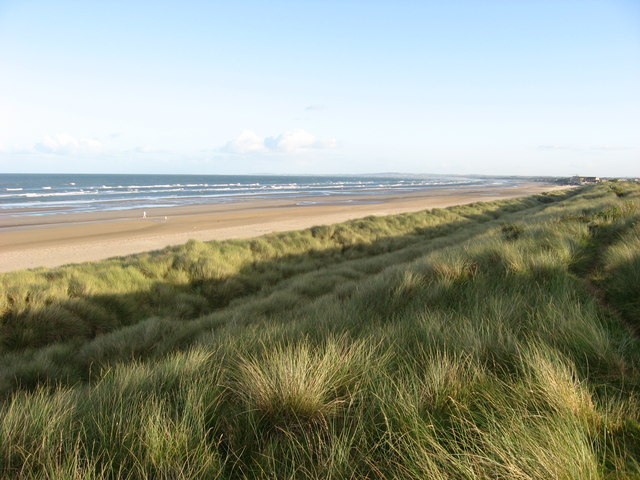 Enclosure in Donacarney GreatEnclosure · 1.1 mi
 RuinCastle, tower house · 1.3 mi
 Beaulieu House and GardensHeritage attraction · 1.7 mi
 Site of Old CastleCastle, unclassified · 2.0 mi
 Battle of Julianstownbattle · 3.8 mi
 Ben HeadCliff · 4.9 mi
 Newgrange Business ParkMemorial · 5.2 mi
 Yellow IslandIslet · 6.1 mi
 Grove IslandIslet · 6.4 mi