
Places near here
Photo credits
- Kieran Campbell, Geograph · CC BY-SA 2.0
- National Inventory of Architectural Heritage
- Offdaw, Wikimedia Commons · CC BY-SA 4.0
- rmc media, credited by Meath Chronicle, www.meathchronicle.ie
- Karora, Wikimedia Commons · CC BY 4.0
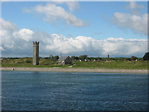 Maiden TowerWatchtower · 80 yd
Explorer Tom Maiden Tower in Mornington is called that because it was built for Queen Elizabeth, not because it's a virgin! The map…
 Drogheda North LighthouseLighthouse · 227 yd
Explorer Tom Drogheda North Lighthouse is listening to the sea whispering secrets through its walls. It stands guard with a straight…
 Drogheda West LighthouseLighthouse · 512 yd
Explorer Tom Drogheda West Lighthouse is locked in a bitter feud with the next village over who has the better sea view. It’s just a…
 Drogheda East LighthouseLighthouse · 539 yd
Explorer Tom Drogheda East Lighthouse is standing there looking all heroic and coastal despite being inland-ish. It’s part of that…
 SunriseLighthouse keeper's house · 569 yd
Explorer Tom Sunrise in Mornington, County Meath thinks the road leading to it is a bit of a letdown for such a grand lighthouse…
 Páirc Réalt Na Mara, Eastern Gaels gacGAA ground · 1176 yd
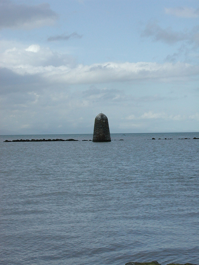 beacon1.0 mi
Explorer Tom Beacon in Mornington has been hiding a scandal about a smuggled boat for centuries, or at least that’s what the…
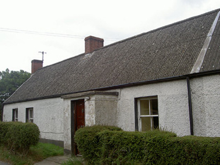 Lane HouseHouse · 1.2 mi
Explorer Tom Lane House in Baltray is made of mud walls, meaning a giant might have thrown it there as a tantrum projectile. It’s…
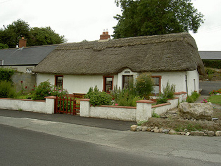 Tuí Naomh ÁineHouse · 1.2 mi
Explorer Tom Tuí Naomh Áine is in a constant drama with the nearest tree over who has better thatch. The scalloped ridge is…
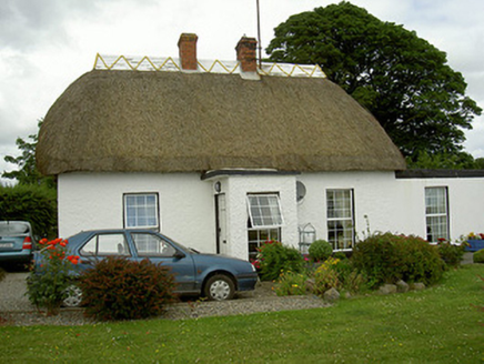 Baldoyle CottageHospital/infirmary · 1.3 mi
Explorer Tom Baldoyle Cottage handles nosey neighbours by pretending its thatched roof is actually a very sophisticated hat. It’s…
 Standing StonesStanding stone, pair · 1.4 mi
Explorer Tom Standing Stones in Baltray hear every whisper between them, including the one about whether the third stone is actually…
 Beaulieu House and GardensHeritage attraction · 1.7 mi
Explorer Tom Beaulieu House looks across the Boyne near Drogheda, its red-brick front and walled garden giving the impression that…
More archaeology and monuments in County Meath · All of County Meath

What do you know about this place?Tap to add a comment or ask a question