What is recorded here
In pasture, on E-facing slope. Not marked on 1840 OS 6-inch map but shown as arc of field fence NE->S enclosing circular area (diam. c. 30m). This section of field fence appears indistinguishable from surrounding field boundaries and does not display any features suggestive of an ancient enclosure.
Compiled by: Denis Power
Date of upload: 26 August 2011
A local fairy fort (ringfort/rath); wider significance not recorded.
The monument record does not grant public access. Check the route and ask the landowner before entering private land.
- What survives
- Recorded monument
Places near here
 Burial Gd. for ChildrenChildren's burial ground · 850 yd
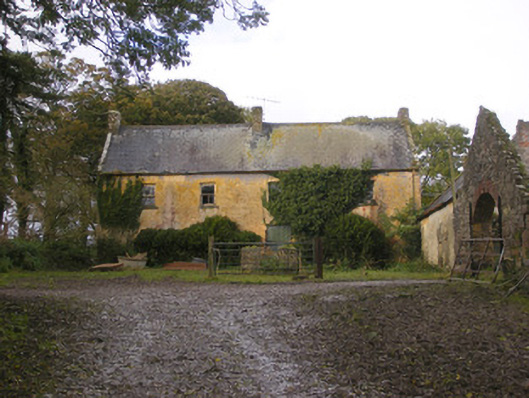 Dollas Housefarm house · 1106 yd
 IndicatedCountry house · 1114 yd
 Castle (in ruins)Castle, unclassified · 1400 yd
 Toberanearla (1924).Holy well · 1.0 mi
 CastleCastle, unclassified · 1.6 mi
 Kinnoor WellSpring · 2.2 mi
 KnockfeerinaMountain / peak · 2.4 mi
 Dysert AenghusaHeritage attraction · 2.7 mi
 European ashEuropean ash · 2.8 mi
 Famine stoneMemorial · 3.0 mi
 Biodiversity in the Maigue CatchmentVisitor information · 3.0 mi