
What is recorded here
Situated on gentle S-facing ground on the lower slopes of Brusselstown Hill. A small circular enclosure (diam. c. 20m) marked on both the 1838 and 1907 OS 6-inch maps. Not visible at ground level.
The above description is derived from the published 'Archaeological Inventory of County Wicklow' (Dublin: Stationery Office, 1997). In certain instances the entries have been revised and updated in the light of recent research.
Date of upload/revision: 17 December 2008
A local fairy fort (ringfort/rath); wider significance not recorded.
The monument record does not grant public access. Check the route and ask the landowner before entering private land.
- What survives
- Recorded monument
Places near here
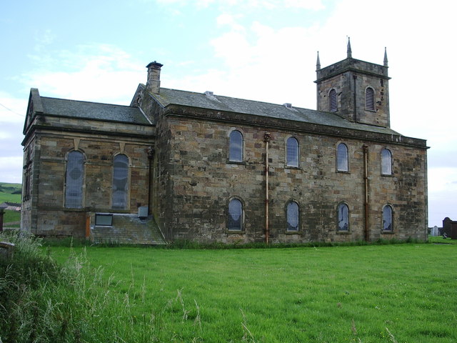 St. Bridgets Well (Site of)Holy well · 524 yd
 Saint Brigit's ChairNamed rock · 621 yd
 Enclosure in Moorstown (talbotstown Upper By.)Enclosure · 706 yd
 Castle in ruinsCastle, unclassified · 888 yd
 Saint Brigit's Mass StoneNamed rock · 921 yd
 Sam McAllistair GraveMemorial · 1498 yd
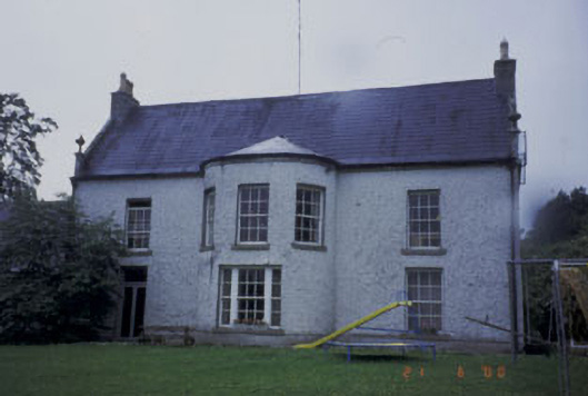 Kilranelagh Housecountry house · 1675 yd
 Keadeen MountainMountain / peak · 1.7 mi
 MoatamoyCastle, motte · 1.9 mi
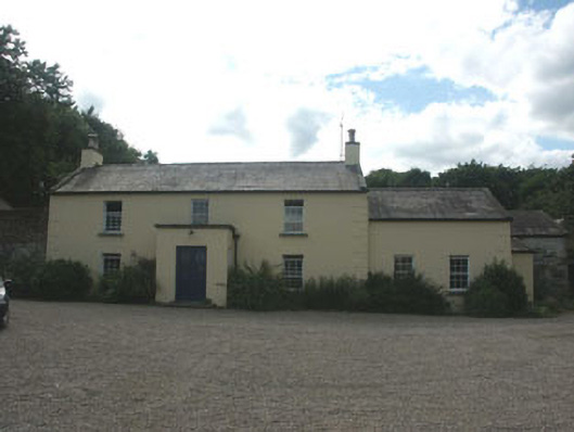 Mount Slaneyfarm house · 1.9 mi
 Dwyer McAllister CottageMuseum · 2.4 mi
 SlievereaghMountain / peak · 3.1 mi
Other information
Photo: Credit not shown in the picture search · Rights wording not checked; contact us if this picture should be removed