What is recorded here
In low-lying marshland. This subrectangular enclosure (24m NNW-SSE; 18m ENE-WSW) is defined by a low irregular bank of earth and an external fosse. Its date and purpose are unclear. It may be a designed landscape feature. (McCaffrey 1952, 242, no. 146a)
Compiled by: Galway Archaeological Survey, UCG
Date of upload: 18 April 2019
The monument record does not grant public access. Check the route and ask the landowner before entering private land.
- What survives
- Recorded monument
Places near here
 MonksfieldCountry house · 693 yd
 IndicatedFairy fort / earthen ringfort · 1227 yd
 CaveMan-made underground passage · 1518 yd
 Cloghroak Castle (in ruins)Castle, tower house · 1.0 mi
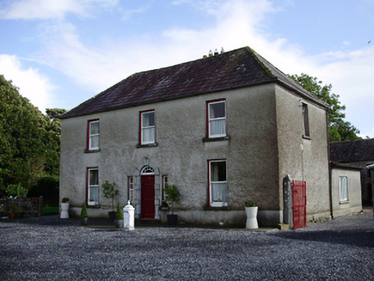 Carheen Househouse · 1.4 mi
 Cregg Castle (in ruins)Castle, tower house · 1.4 mi
 Drumharsna CastleHeritage attraction · 5.1 mi
 HawthornHawthorn · 5.2 mi
 European ashEuropean ash · 5.3 mi
 Scalpeen RockNamed rock · 6.1 mi
 MweenisharanIslet · 8.7 mi
 Mulroney's IslandIslet · 8.9 mi