What is recorded here
Situated on level summit of broad E-W orientated ridge in pasture. Circular mound (base diam. 11m; H 1.9m) of earth and stone enclosed by a berm (Wth 2.3m) with an outer stone kerb (ext. H 0.6m). A NE-SW orientated drystone field wall traverses the site slightly to NW of centre. The summit of the central mound has been truncated on either side of the field wall to form a level D-shaped level area (dims. 4.5m NE-SW; 2.8m NW-SE). The straight side of the D-shaped area is defined NE-SE by an inward facing scarped edge (H 0.6m) and the curved portion of the D-shaped area is defined by original slope of the side of the mound NE-SE. The berm encloses the central mound NE-SW is absent elsewhere. The external edge of the berm is defined by an earthen scarped edge that is best preserved NNE-SW where a discontinuous kerb of small limestone slabs and boulders survives.
Compiled by: Patrick F. O'Donovan
Date of upload: 21 April 2011
A Neolithic passage tomb, dating to approximately 3500–2500 BCE. Its construction and orientation reflect early megalithic traditions in the region, indicating ritual or funerary significance.
The monument record does not grant public access. Check the route and ask the landowner before entering private land.
- What survives
- Recorded monument
Places near here
 Enclosure in MoneygoldEnclosure · 493 yd
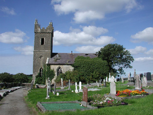 Ahamlish Churchchurch/chapel · 611 yd
 Penitential station in MoneygoldPenitential station · 616 yd
 Cross in MoneygoldCross · 629 yd
 Connors IslandIsland · 1077 yd
 InishnagorIslet · 1478 yd
 CastleCastle, unclassified · 1.2 mi
 Atlantic SheepdogsHeritage attraction · 1.9 mi
 Streedagh BeachVisitor information · 1.9 mi
 de Cuellar Armada MonumentMemorial · 2.3 mi
 Trawalua StrandBeach / strand · 2.6 mi
 Classiebawn WoodsWood · 3.4 mi