
What is recorded here
Situated on the SE facing slope near top of a hill with excellent views to the NW, N & NE. Monument overlooked by Mullaghmeen Hill to the ESE. Ringforts (WM001-010----; WM001-009----) 250m and 260m to S and SW respectively. Roughly circular area (diam. 26m E-W; 27m N-S) enclosed by an earth and stone bank poorly preserved from NW-N-E-SE with slight traces of an external fosse. No entrance feature visible. The S quadrant of the ringfort interior is best preserved area. Post 1700 field boundary running N-S intersects W side of site. Second field boundary running N-S also intersects perimeter of monument E side. The interior of the ringfort slopes from W-E. The S perimeter of the monument is intersected by a stone wall & shallow fosse which forms part of a post-1700 field boundary. The ringfort appears to have enclosed on all sides by a earth and stone field boundary wall of probable post-1700 date.
See attached profile of monument surveyed and drawn by the ASI.
Compiled by: Frank Coyne & Caimin O'Brien
Date of upload: 15 November 2016
The monument record does not grant public access. Check the route and ask the landowner before entering private land.
- What survives
- Recorded monument
Places near here
 IndicatedFairy fort / earthen ringfort · 326 yd
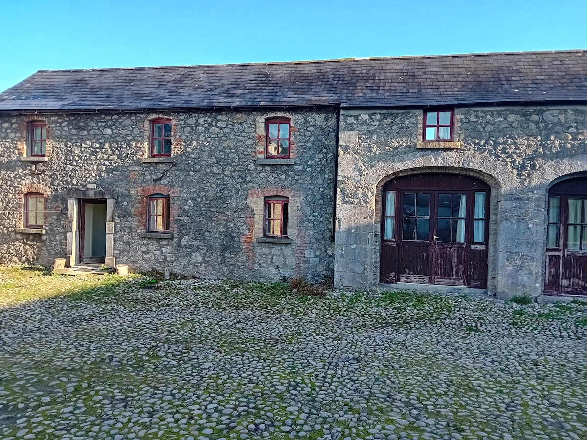 Bawn in TullystownBawn · 446 yd
 Tullystown Househouse · 499 yd
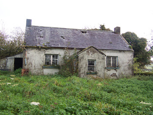 Tullystown National Schoolschool · 760 yd
 OutlinedFairy fort / earthen ringfort · 944 yd
 CastleCastle, motte · 1278 yd
 MullaghmeenMountain / peak · 1.4 mi
 Fox CovertForest · 1.5 mi
 Mullaghmeen White WalkWalking route · 1.7 mi
 Ross BayBay · 1.8 mi
 Muldarry PointHeadland · 1.8 mi
 Mullaghmeen Red WalkWalking route · 1.9 mi
Other information
Photo: Credit not shown in the picture search · Rights wording not checked; contact us if this picture should be removed