What is recorded here
Situated on a SE-facing slope in a broad col with hills c. 600m to the NW and c. 1.5km to the SE. Monaseed was granted to William Marwood in 1613 and by 1621 the house (WX006-071001-) had been built as well as a walled orchard that is described as measuring 268 feet by 161 feet (loeber, Stouthamer-Loeber 1987, 193-4). The present farm complex c. 60m E of Monaseed House (WX006-071001-) has corresponding dimensions (dims. c. 86m NE-SW; c. 50m NW-SE) and its SW wall (Wth 0.6-0.8m; H c. 2.5m) is probably original as it is poorly bonded with clay mortar and has two adjacent flat-arched gateways (Wth c. 3m) with undressed vouosoirs.
Compiled by: Michael Moore
Date of upload: 1 March, 2012
The monument record does not grant public access. Check the route and ask the landowner before entering private land.
- What survives
- Recorded monument
Places near here
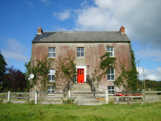 Monaseed Housefarm house · 90 yd
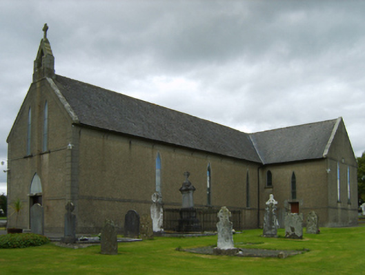 Saint Brendan's Catholic Churchchurch/chapel · 1268 yd
 Monastery (Site of)Ecclesiastical site · 1469 yd
 Craan HillMountain / peak · 1.1 mi
 Kilmichael HillMountain / peak · 1.1 mi
 Embanked enclosureFairy fort / ringfort · 1.3 mi
 Mountnebo WoodForest · 1.3 mi
 Ballingarry WoodForest · 2.8 mi
 Saint Brigid's WellSpring · 3.1 mi
 1798 MemorialMemorial · 4.0 mi
 CastleCastle, motte · 4.0 mi
 Blue SchoolMemorial · 4.4 mi