
What is recorded here
Tree covered sub-circular enclosure (map. dims. c. 60m N-S; c. 62m E-W) visible on 1838 OS 6-inch map. Trees cut down and substantial damage due to quarrying (SMR file).
Compiled by: Claire Breen
Date of upload: 07 February 2013
A local fairy fort (ringfort/rath); wider significance not recorded.
The monument record does not grant public access. Check the route and ask the landowner before entering private land.
- What survives
- Recorded monument
Places near here
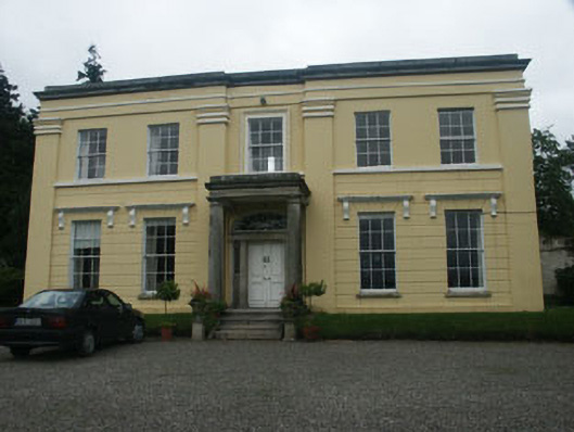 Monalin Househouse · 606 yd
 Church in Kilmurry (newcastle By.)Church · 755 yd
 CastleCastle, motte · 1348 yd
 Enclosure in Kilmurry (newcastle By.)Enclosure · 1378 yd
 Kavannagh Real Christmas Trees FarmForest · 1477 yd
 Enclosure in Kilmullin (newcastle By., Newcastle Lower Ed)Enclosure · 1.1 mi
 Carrigower BogNature reserve · 1.9 mi
 Castle (in Ruins)Castle, ringwork · 2.6 mi
 Delgany Heritage TrailWalking route · 3.4 mi
 Glenroe FarmHeritage attraction · 3.4 mi
 Victor's WayHeritage attraction · 3.7 mi
 Leamore StrandBeach / strand · 3.8 mi
Other information
Photo: Credit not shown in the picture search · Rights wording not checked; contact us if this picture should be removed