
What is recorded here
Situated in a slight hollow on a NE-facing spur. A subrectangular area (dims. 32m N-S x 15m E-W) defined by a bank (H 1m) and a fosse (D 0.5m). (Information P. Neary)
The above description is derived from the published 'Archaeological Inventory of County Wicklow' (Dublin: Stationery Office, 1997). In certain instances the entries have been revised and updated in the light of recent research.
Date of upload/revision: 17 December 2008
The monument record does not grant public access. Check the route and ask the landowner before entering private land.
- What survives
- Recorded monument
Places near here
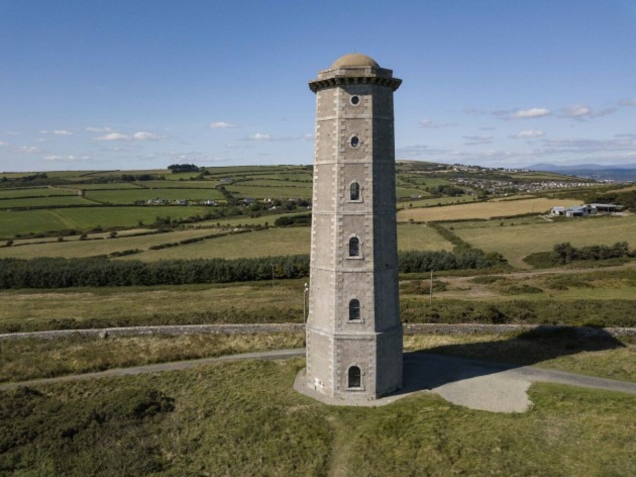 Enclosure in TithewerEnclosure · 675 yd
 Church in Kilmurry (newcastle By.)Church · 687 yd
 IndicatedHoly well · 848 yd
 Kavannagh Real Christmas Trees FarmForest · 1307 yd
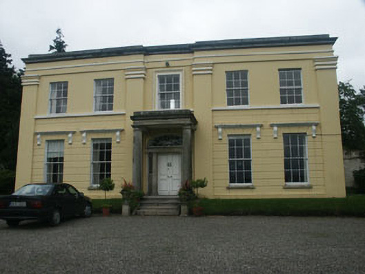 Monalin Househouse · 1471 yd
 CastleCastle, motte · 1.5 mi
 Carrigower BogNature reserve · 1.7 mi
 Victor's WayHeritage attraction · 3.0 mi
 Castle (in Ruins)Castle, ringwork · 3.1 mi
 Delgany Heritage TrailWalking route · 4.0 mi
 Devil's Glen WaterfallWaterfall · 4.1 mi
 Glenroe FarmHeritage attraction · 4.2 mi
Other information
Photo: Credit not shown in the picture search · Rights wording not checked; contact us if this picture should be removed