What is recorded here
Situated on fairly low-lying land overlooked by a hill c. 150m to the SW. It is depicted as a small rectangular field not incorporated into the field system on the 1836 edition of the OS 6-inch map. It is also visible on aerial photographs (GSIAP: N 306, 307) and some later series (OSAP: 2017; Google Earth 20/03/2018). This is a rectangular grass-covered area (dims 34m ENE-WSW; 31.2m NNW-SSE) defined by slight earthen banks (at N: Wth of base 6m; int. H 0.2m; ext. H 0.7m) and slight outer fosses or moats (at N: Wth of top 3.7m; ext. D 0.3m). A leat feeds into the fosse at the SW and exits it at NW.
The above description is derived from the published 'Archaeological Inventory of County Meath' (Dublin: Stationery Office, 1987). In certain instances the entries have been revised and updated in the light of recent research.
Compiled by: Michael Moore
Date of revision: 9 August 2019
The monument record does not grant public access. Check the route and ask the landowner before entering private land.
- What survives
- Recorded monument
Places near here
 Abandoned Kinnegad CanalWood · 655 yd
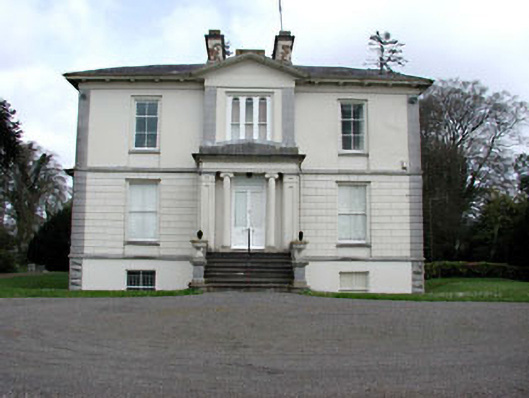 Mount Heveycountry house · 1191 yd
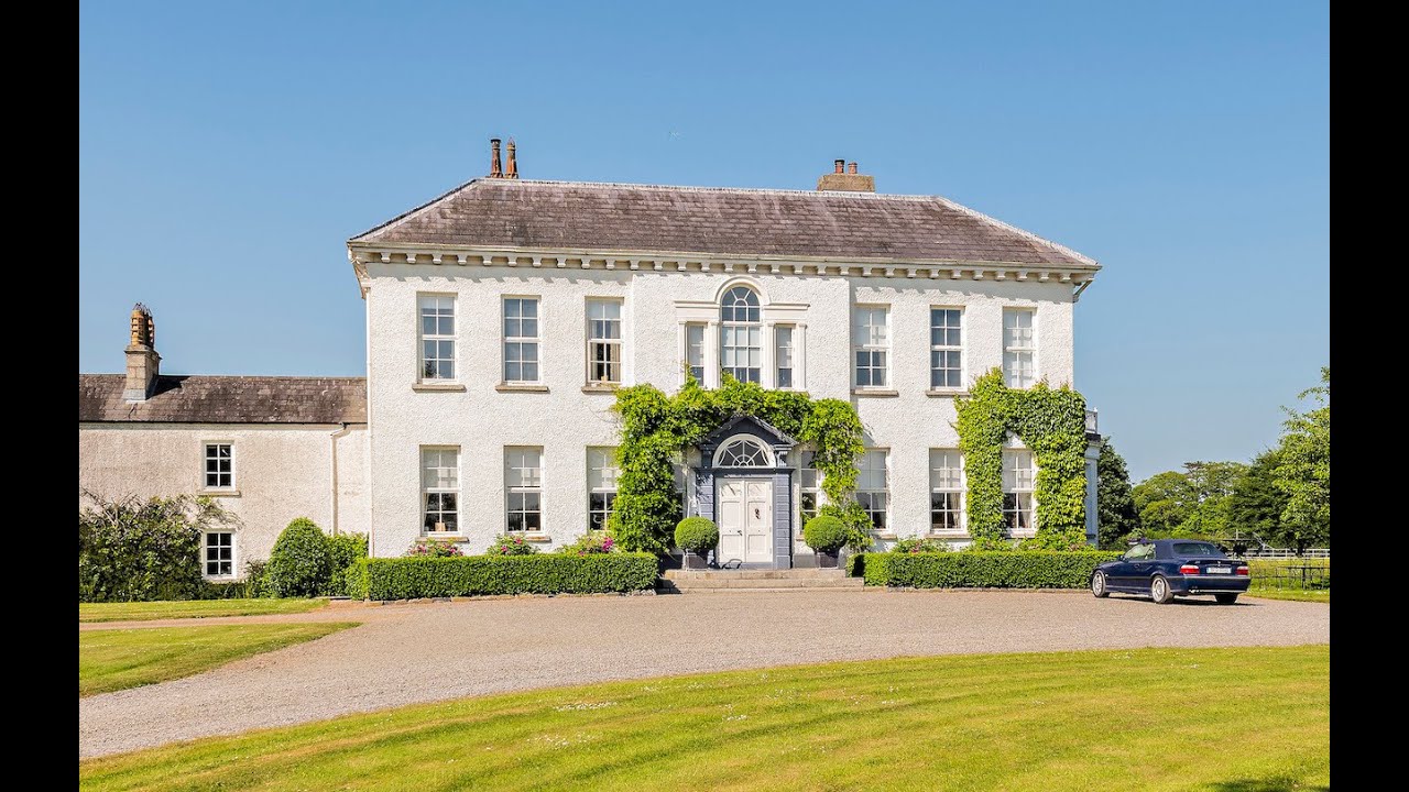 Concentric enclosure in Anneville or Clonard OldConcentric enclosure · 1631 yd
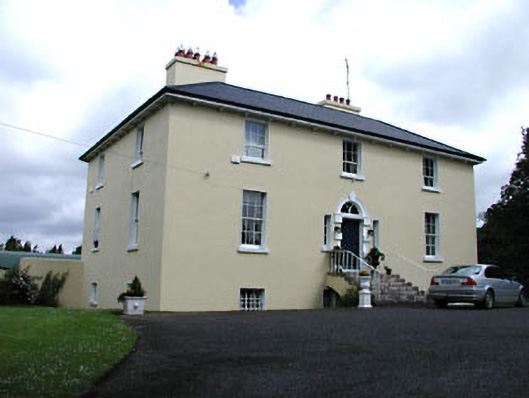 Glebe Houserectory/glebe/vicarage/curate's house · 1.0 mi
 Enclosure in Newtown or CloneenEnclosure · 1.2 mi
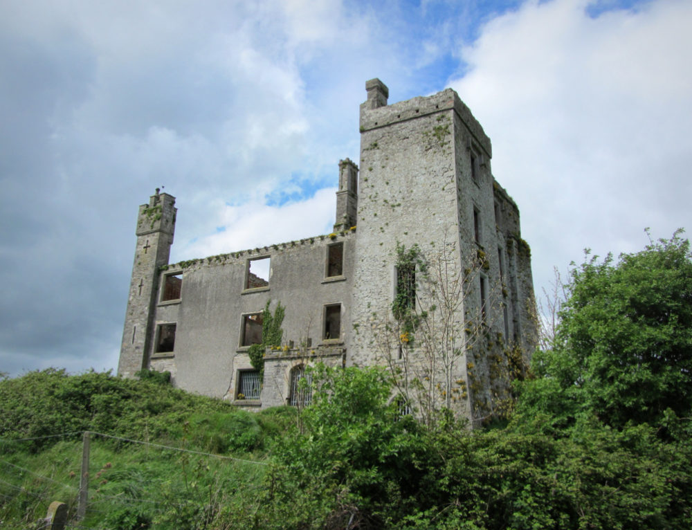 CastleCastle, ringwork · 1.3 mi
 Croppies' GraveMemorial · 2.3 mi
 Ardnamullan CastleCastle, tower house · 2.4 mi
 European BeechEuropean Beech · 3.6 mi
 Cloncurry GraveyardHeritage attraction · 9.8 mi
 The Grill ShackHeritage attraction · 12 mi
 Lismahon 1798 MemorialMonument · 19 mi