
Places near here
Photo credits
- National Inventory of Architectural Heritage
- Jonathan Billinger, Wikimedia Commons · CC BY-SA 2.0
- Anglo Celt / Celtic Media Group; individual photographer not named in image caption, www.anglocelt.ie
- Eeno11, Wikimedia Commons · CC BY-SA 3.0
- Didier Descouens, Wikimedia Commons · CC BY-SA 4.0
- Kenneth Allen, Geograph · CC BY-SA 2.0
- Maker not stated on source page, www.flickr.com
- Colin Park, Geograph · CC BY-SA 2.0
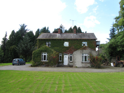 Brackley HouseHouse · 1354 yd
Explorer Tom Brackley House has strict rules for visitors: no touching the gabled wings, no asking about the previous bigger house…
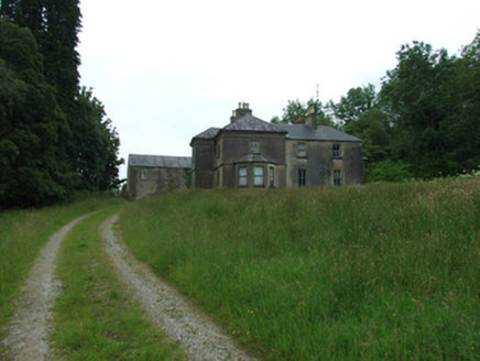 Tircahan LodgeFarm house · 1.4 mi
Explorer Tom Tircahan Lodge has giant redwoods lining its drive like a creepy forest guard. The house is all mouldings and chimney…
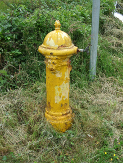 water pump1.6 mi
Explorer Tom Water pump in Borim is one of three buddies on the road to Swanlinbar, and they all gossip constantly. I heard…
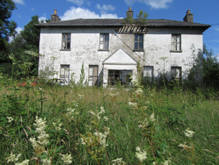 Bawnboy HouseCountry house · 1.8 mi
Explorer Tom Bawnboy House is posting photos of its walled garden on social media, but let's be honest, it’s in poor condition. The…
 Slieve RushenMountain / peak · 1.9 mi
Explorer Tom Slieve Rushen has a family tree that is mostly made up by local grandmothers who enjoy gossiping. The real history is…
 St. Aidan's Park, St. Aidans GAA, TempleportGAA ground · 1.9 mi
 Rowan2.0 mi
Explorer Tom Rowan in County Cavan nearly got famous when a celebrity claimed they dreamed of it, but then forgot to come back. Find…
 Hawthorn2.1 mi
Explorer Tom Hawthorn in County Cavan started from a bet two lads made in the pub about who could grow the prickliest bush. One of…
 Tullydermot FallsWaterfall · 3.8 mi
Explorer Tom Tullydermot Falls sounds like a place a local giant might have dropped his bucket, but the real culprit is much more…
 Monydoo or TonycromMountain / peak · 4.1 mi
Explorer Tom Monydoo or Tonycrom is the awkward uncle at the wedding, always wearing the wrong outfit and stealing bites of the…
 Wedge tomb: giant's grave in GreenanWedge Tomb: Giant's Grave · 4.8 mi
Explorer Tom Greenan's wedge tomb was designed by a mother-in-law who wanted everything to fit perfectly but left no room for…
 Cuilcagh WayWalking route · 6.2 mi
Explorer Tom Cuilcagh Way would spend its lotto win on buying every single pair of wellies ever made. It winds up the mountain like…
More archaeology and monuments in County Cavan · All of County Cavan

What do you know about this place?Tap to add a comment or ask a question