What is recorded here
Midway down a gentle NE-facing slope, on the E bank of the River Nore, in an area of undulating pasture. There are fine views from W-N-SE, otherwise views are limited by rising ground. This may be the 12th/13th-century castle of Tullabarry mentioned by Carrigan (1905, vol. 2, 87). A large pudding-bowl-shaped mound…
Read the whole record
Midway down a gentle NE-facing slope, on the E bank of the River Nore, in an area of undulating pasture. There are fine views from W-N-SE, otherwise views are limited by rising ground. This may be the 12th/13th-century castle of Tullabarry mentioned by Carrigan (1905, vol. 2, 87). A large pudding-bowl-shaped mound (diam. at base c. 50m; diam. at summit 19.4m N-S; H above fosse at SE c. 5.5m) composed of sand, gravel and water-rolled stones, enclosed by the remains of a fosse (max. Wth 4.5m; D below field level 1.8m) and counterscarp bank. It is overgrown with ivy, hawthorn and brambles and has been dug into on the SE face near the summit. The surface of the summit has been denuded and slopes gently along the W side, from S-N. The fosse is best preserved from SE-S-SW and has been infilled from NE-SE. An old mill stream flowing into the River Nore skirts the base of the mound from NW-N.
This monument is subject to a preservation order made under the National Monuments Acts 1930 to 2014 (PO no. 5/1983).
From the National Monuments Service (Archaeological Survey of Ireland) record KK005-023001
Places near here
Photo credits
- National Inventory of Architectural Heritage
- A.-K. D., Wikimedia Commons · CC BY-SA 4.0
- Mike Searle, Wikimedia Commons · CC BY-SA 2.0
- No machine-readable author provided. GunnerPoulsen~commonswiki assumed (based on copyright claims)., Wikimedia Commons · CC BY-SA 3.0
- A.-K. D., Wikimedia Commons · CC0
- Rüdiger Wölk This photo was taken by Rüdiger Wölk . Please credit this photo Rüdiger Wölk, Münster . View all photos (large page) of Rüdiger Wölk I would also appreciate an email to rudiger.wolk@gmail.com with details of use. Für Hinweise auf Veröffentlichungen (rudiger.wolk@gmail.com) oder Belegexemplare bin ich Ihnen dankbar., Wikimedia Commons · CC BY-SA 2.5
- Willow, Wikimedia Commons · CC BY 2.5
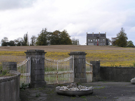 Ballyconra HouseGates/railings/walls · 1237 yd
 Graveyard in SraleaghGraveyard · 1645 yd
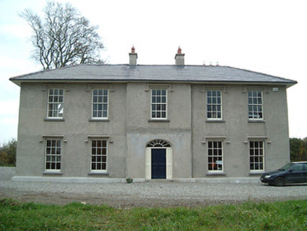 Eden HallFarm house · 1.0 mi
 St. Finans WellHoly well · 1.1 mi
 Ballyragget Cas.Castle, tower house · 1.2 mi
 Grave YardGraveyard · 1.3 mi
 Donaghmore WellSpring · 1.9 mi
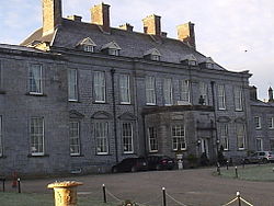 Durrow CastleCastle · 3.8 mi
 1798 MonumentMemorial · 5.0 mi
 Red horse-chestnut5.5 mi
 Kilgorey Old BurialVisitor information · 9.8 mi
 European ash9.9 mi
More castles and forts in County Kilkenny · All of County Kilkenny

What do you know about this place?Tap to add a comment or ask a question