What is recorded here
In low-lying pasture. A raised rectangular area (40.4m NE-SW; 34.1m NW-SE) enclosed by a low inner bank of earth and stone (Wth 4.4m; H 0.7m) with a wide, shallow, intervening fosse (Wth 4.3m; D 0.9m) and a much-degraded, low outer bank (Wth 3.4m; H 0.7m). On the NE side the inner bank is denuded almost to the ground level of the interior and the fosse and outer bank have been levelled. A break (Wth 4.2m) in the bank in the centre of the NE side probably marks the original entrance. A motte and bailey (LF014-050----) is located c. 370m to the W.
Compiled by: Patrick F. O'Donovan
Date of upload: 3 May 2012
The monument record does not grant public access. Check the route and ask the landowner before entering private land.
- What survives
- Recorded monument
Places near here
 IndicatedBawn · 459 yd
 Field system in MoatfarrellField system · 466 yd
 Moat & CastleCastle, motte and bailey · 467 yd
 Castle (in Ruins)House, 18th/19th century · 574 yd
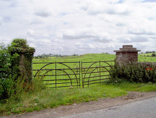 gates/railings/wallsgates/railings/walls · 633 yd
 BarrowBarrow, ring-barrow · 662 yd
 Edgeworthstown BypassMemorial · 2.7 mi
 Ballinalee Forest WalkForest · 3.1 mi
 Clonfin Ambush MemorialMemorial · 3.1 mi
 Oldtown DemesneForest · 3.3 mi
 Bully's Acregraveyard/cemetery, unknown · 3.5 mi
 Granard MotteMotte-and-bailey castle remains · 6.5 mi