What is recorded here
In pasture, 40m N of the River Loobagh and 35m S of a railway track. A tree-ring (LI047-027----) lies 110m to SW and Mount Coote House 500m to E. Not depicted on 1840 ed. OSi 6-inch map. Shown on the 1897 ed. OSi 25-inch map as an oval-shaped area (dims. c. 29m NE-SW; 17m NW-SE) with the interior planted with trees. Similar tree-rings or woodland plantations are indicated to the NE and SW on the OSi 25-inch map. No surface remains visible on Google Earth orthoimages.
See attached Google Earth orthoimage.
Compiled by: Martin Fitzpatrick
Date of upload: 12 August 2021
The monument record does not grant public access. Check the route and ask the landowner before entering private land.
- What survives
- Recorded monument
Places near here
 Site of Millmount Castle, Castle FieldCastle, unclassified · 361 yd
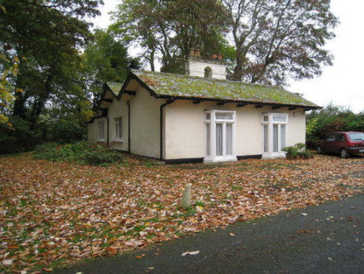 Mount Cootegate lodge · 408 yd
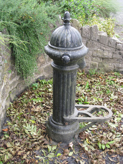 water pumpwater pump · 612 yd
 ToberreendoneyHoly well · 642 yd
 BarrowBarrow, ditch barrow · 751 yd
 Kilmallock AbbeyHeritage attraction · 1538 yd
 King John's CastleCastle · 1612 yd
 Kings CastleCastle, tower house · 1612 yd
 St Bridget's WellSpring · 1.5 mi
 Lady's WellSpring · 3.5 mi
 Ballyhoura tourist informationVisitor information · 4.5 mi
 Caher HillMountain / peak · 4.9 mi