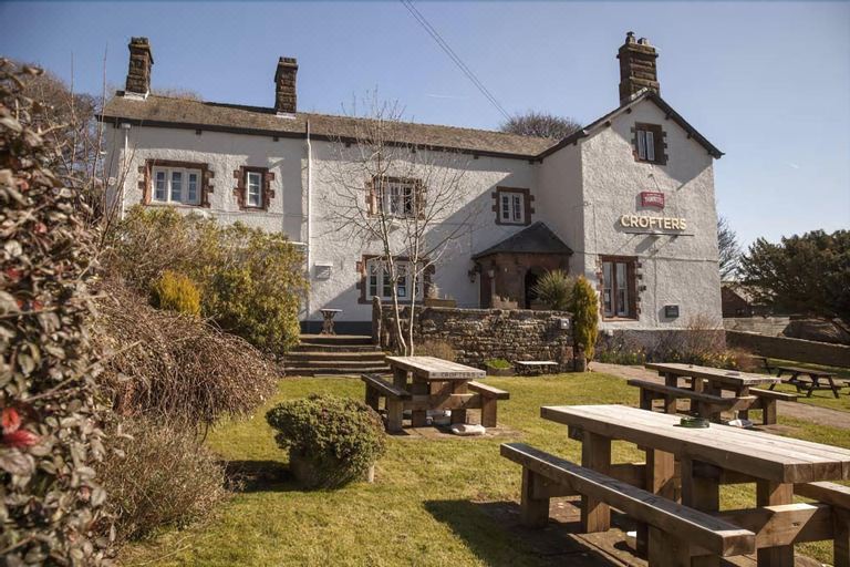
What is recorded here
Situated on reclaimed poorly drained pasture. Cropmark of possible ditch-barrow consisting of a circular-shaped area (approx. diam. 14m) defined by a fosse that is visible on Google Earth orthoimage taken 19/03/2015 and clearly visible on OSi orthophoto taken 2005-12.
See attached Google Earth orthophotos
Compiled by: Caimin O'Brien based
Date of upload: 5 August 2020
Ditch barrow, likely dating to the Early Bronze Age. Its significance lies in its potential to provide insights into early funerary practices and landscape use in the region.
The monument record does not grant public access. Check the route and ask the landowner before entering private land.
- What survives
- Recorded monument
Places near here
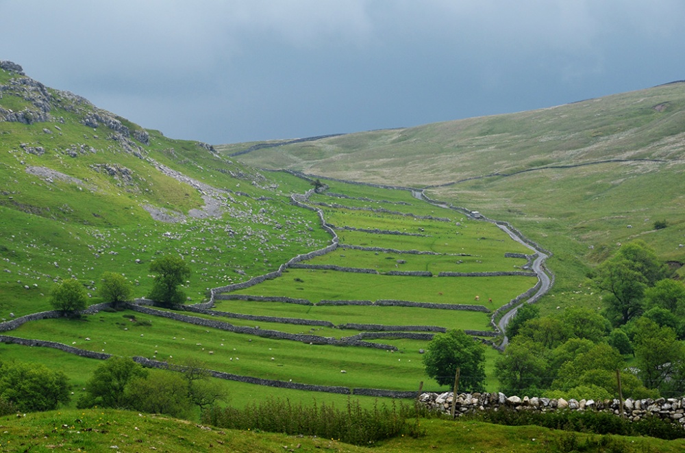 Field system in Bawntard South,fairyfield GlebeField system · 229 yd
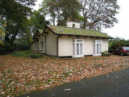 Mount Cootegate lodge · 351 yd
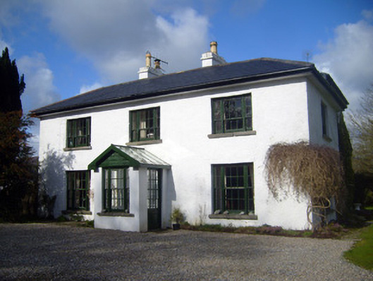 Fairyfield Househouse · 447 yd
 ToberreendoneyHoly well · 1066 yd
 Site of Millmount Castle, Castle FieldCastle, unclassified · 1105 yd
 Kilmallock AbbeyHeritage attraction · 1.1 mi
 King John's CastleCastle · 1.2 mi
 Kings CastleCastle, tower house · 1.2 mi
 St Bridget's WellSpring · 1.9 mi
 Lady's WellSpring · 4.0 mi
 Ballyhoura tourist informationVisitor information · 4.4 mi
 Ballinvreena LoopVisitor information · 4.7 mi
Other information
Photo: Credit not shown in the picture search · Rights wording not checked; contact us if this picture should be removed