What is recorded here
Situated on a gentle E-facing slope. This is a rectangular grass-covered area (dims. 41m E-W; 38m N-S) defined by water-filled moats (Wth 8-10m) on the N and E sides and traces of backfilled moats (Wth 10m; D 0.2 0.4m) at S and W. (Barry 1977, 223, WX 84)
The above description is derived from the published 'Archaeological Inventory of County Wexford' (Dublin: Stationery Office, 1996). In certain instances the entries have been revised and updated in the light of recent research.
Compiled by: Michael Mooore
Date of upload/revision: 3 September, 2012
The monument record does not grant public access. Check the route and ask the landowner before entering private land.
- What survives
- Recorded monument
Places near here
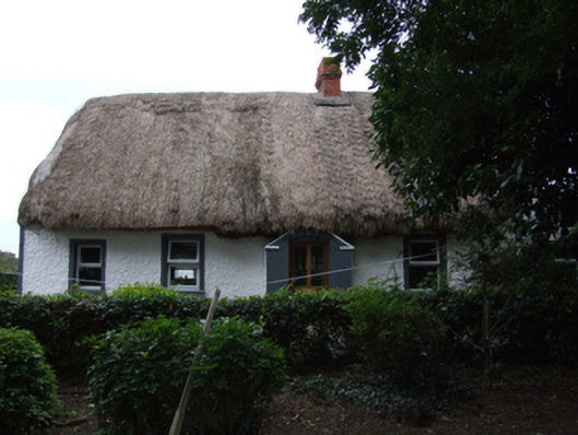 farm housefarm house · 564 yd
 Not idicatedField system · 754 yd
 Man-made underground passage in Mill Lands (ballaghkeen By., Edermine Ed)Man-made underground passage · 803 yd
 Kilmallock Bridgebridge · 1708 yd
 Embanked enclosureCastle, motte · 1726 yd
 Eden ValeWood · 1.9 mi
 Artramon CastleCastle, tower house · 2.6 mi
 Ballywish SouthForest · 2.8 mi
 Peace GardenMemorial · 2.8 mi
 1798 MemorialMemorial · 3.4 mi
 CrannogHeritage attraction · 4.7 mi
 Irish National Heritage ParkHeritage attraction · 4.7 mi