What is recorded here
Indicated is a circular earthen fort on a Mayo knoll, throwing a wide view north across Killala Bay while blackthorn and brambles choke its interior. Its banks, ditch and outer ridge still mark a broad ring, but the SSE gaps and hidden stone-lined depression suggest an entrance and underworld chamber rather than an ordinary farm boundary. The place feels less like a forgotten field feature than a threshold, where human hands shaped the earth and local belief may have given that shape a living purpose.
In undulating average pasture, prominently sited on a knoll, straddling the break of slope on the NE–E side where the ground falls away steeply. The location provides extensive views to N over Killala Bay.
Circular area (diam. c. 36-40m) defined by an earthen bank, and enclosed by a fosse with an external bank. The inner bank (5.6m at NW, c. 5m at SE; int. H 1m at NW, 0.3m at SE; ext. H 1.7m at NW, 1.6m at SE), is substantial, although the internal face at E–S is low and poorly defined. The fosse (max. Wth 3.5-4m, 2m at base, at NW) and external bank (Wth 4.4m at NW, c. 5m at SE; int. H 1.4at NW, 0.3m at SE; ext. H 1.1m at NW; 3.3m at SE) are also generally well defined. However, at NE–SE the fosse is noticeably narrower (Wth 2m), and the external bank is lower internally, but has a pronounced external slope merging with an abrupt and steep natural fall of ground.
Downslope, and 2m to E of the external bank, there are traces of another bank which appears to extend roughly N–S following the contours of the knoll. It is difficult to trace due to dense overgrowth, but appears to be the remnants of a relatively recent field boundary.
A gap (Wth 2m) in the inner bank at SSE appears to mark the original rath entrance, with a corresponding gap (Wth c. 2m) in the external bank.
There is a Man-made underground passage (MA022-049002-), visible as a stone-lined depression, slightly SE of centre in the interior.
The perimeter is densely ringed with blackthorn, hawthorn and brambles, and much of the interior is obscured beneath impenetrable blackthorn and brambles.
An enclosure (MA022-040----) is located 150m to WNW and a possible rath (MA022-039----) is located on a rise c. 200m to WSW.
Compiled by: Jane O’Shaughnessy
Date of upload: 30 April 2019
The monument record does not grant public access. Check the route and ask the landowner before entering private land.
- What survives
- Recorded monument
Places near here
 Enclosure in Meelick (tirawley By.)Enclosure · 220 yd
 Site of ChurchChurch · 327 yd
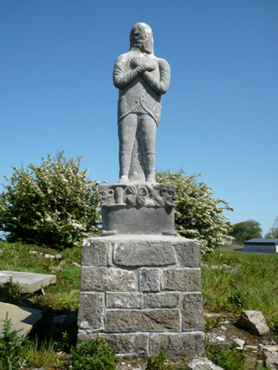 Grave monumentGrave monument · 350 yd
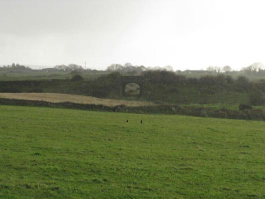 bridgebridge · 504 yd
 Bawn in Meelick (tirawley By.)Bawn · 644 yd
 Battlefields of MoyneBattlefield · 1281 yd
 CastleCastle, unclassified · 1.0 mi
 Battle of Killalabattle · 1.1 mi
 Moyne AbbeyHeritage attraction · 1.1 mi
 Green IslandIslet · 1.2 mi
 Bartragh IslandIsland · 1.7 mi
 Rinnaun PointHeadland · 1.7 mi