What is recorded here
Indicated stands on a low hill above Meelagh valley, its twenty-metre circle marked by a thin bank and a radially set stone at the south-east entrance. The north half has surrendered to overgrowth, while a dense patch of blackthorns just south holds the remains of an old dwelling site. Together they suggest a small lived world where people watched the valley, tended the enclosure and left behind only a gap in the bank and a stone still pointing inward.
On top of a low hill on N-facing slope; commanding view of Meelagh valley. Circular enclosure (diam. c. 20m) defined by bank NW->NE (H 0.4m); scarp SE->SW (H 0.65m); truncated to W by N-S field fence. Entrance to SE, defined to S by radially-set stone (L 1m; 0.8m; 0.25m). Second stone outside gap in bank to NW. N half interior overgrown. (WBBS). Myler (1998, 40) records that 'just south of this ringfort in a dense patch of blackthorns are the remains of an old dwelling site or Coulach'.
The above description is derived from the published 'Archaeological Inventory of County Cork. Volume 1: West Cork' (Dublin: Stationery Office, 1992). In certain instances the entries have been revised and updated in the light of recent research.
Date of upload/revision: 24 January 2013
The monument record does not grant public access. Check the route and ask the landowner before entering private land.
- What survives
- Recorded monument
Places near here
 Man-made underground passage in Ards More (west)Man-made underground passage · 619 yd
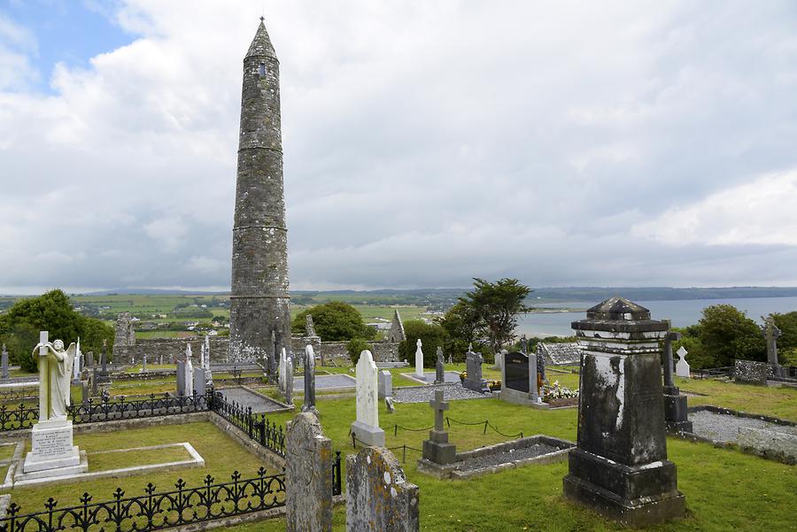 Burial ground in Ards More (west)Burial ground · 805 yd
 Kealkill stone circleVisitor information · 1.3 mi
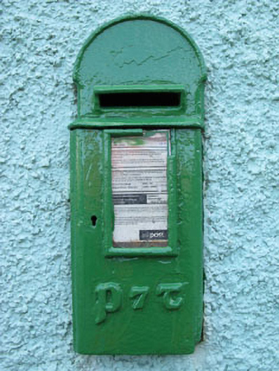 post boxpost box · 1.6 mi
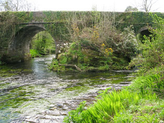 Lisheen Bridgebridge · 1.8 mi
 Carriganass CastleCastle · 1.9 mi
 Bulls PocketMountain / peak · 2.5 mi
 Mullach MéiseMountain / peak · 2.8 mi
 St Finbarr's Pilgrim RouteWalking route · 2.9 mi
 Castle (in Ruins)House, fortified house · 3.1 mi
 Ballylickey BayBay · 3.3 mi
 Daly's LoopWalking route · 3.4 mi