What is recorded here
Indicated is a circular stone fort in West Cork pasture, holding a hidden chamber behind its overgrown wall. The field fence beside it bends away as if refusing to enter, suggesting the fort still owns its boundary. People may have lived inside before the grass took back the room, but the stones keep that memory private.
In pasture, on gentle W-facing slope. Circular area (17m N-S; 16m E-W) enclosed by stone wall (H 1.8m; Wth 1m) built atop ruins of earlier wall. Interior heavily overgrown. Immediately to E field fence (CO142-033003-) arcs as if to respect second enclosure; area inside arc heavily overgrown.
The above description is derived from the published 'Archaeological Inventory of County Cork. Volume 1: West Cork' (Dublin: Stationery Office, 1992). In certain instances the entries have been revised and updated in the light of recent research.
Date of upload/revision: 14 January 2009
The monument record does not grant public access. Check the route and ask the landowner before entering private land.
- What survives
- Recorded monument
Places near here
 schoolschool · 485 yd
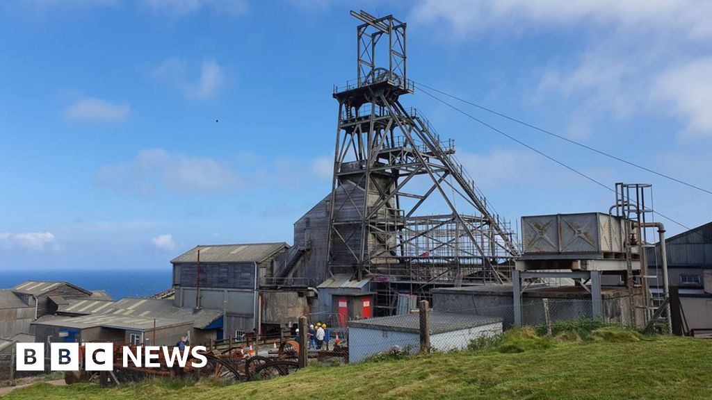 Manganese Mines (Disused)Mining complex · 617 yd
 Burial in RushanesBurial · 916 yd
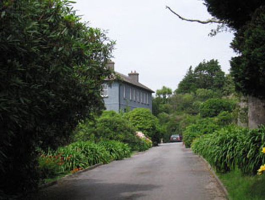 Glandore Househouse · 1011 yd
 Walk 1 - Drombeg Standing Stone Circle (7 - 9 km)Walking route · 1567 yd
 Wild Atlantic WayVisitor information · 1.1 mi
 Myross PointHeadland · 1.1 mi
 Cooks WoodWood · 1.2 mi
 Drombeg Fulacht Fia and RuinsVisitor information · 1.3 mi
 Coastguard StationRuins · 1.3 mi
 Drombeg Stone CircleArchaeological place · 1.4 mi
 Big HeightMountain / peak · 1.4 mi