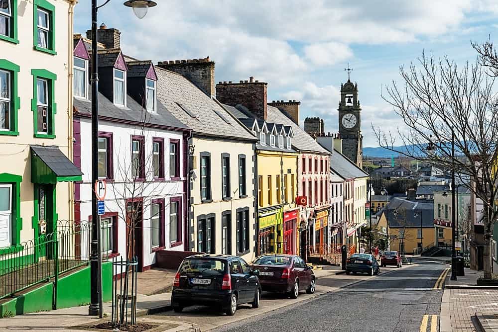
What is recorded here
In the year 2000 the upstanding monument was described as following; 'Near the top of a long, gentle W-facing pasture slope. A poorly preserved circular area (diam. 46m) defined by a low earthen bank (Wth 3-4.5m; H 0.2-0.4m) SSE-W-NE, with faint traces of an outer fosse, partially recut as a later field drain along the W'. Recent aerial photographs visible on Digital Globe indicate that today there are no surface remains visible of this monument which has been levelled since last site visit in 2000.
Compiled and revised by: Gearóid Conroy and Caimin O'Brien
Date of revised upload: 23 May 2015
A local fairy fort (ringfort/rath); wider significance not recorded.
The monument record does not grant public access. Check the route and ask the landowner before entering private land.
- What survives
- Recorded monument
Places near here
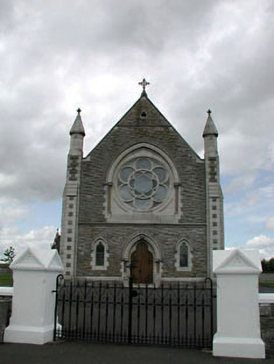 Saint Brigid's Catholic Churchchurch/chapel · 650 yd
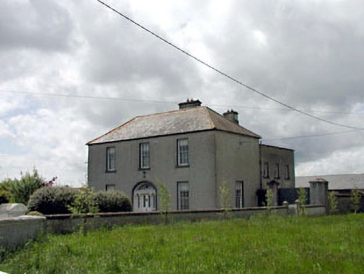 presbytery/parochial/curate's housepresbytery/parochial/curate's house · 656 yd
 Enclosure in BallyfairEnclosure · 1735 yd
 Enclosure in Bohergoy UpperEnclosure · 1.5 mi
 Castle in RuinsCastle, tower house · 2.4 mi
 ElderElder · 2.6 mi
 Battle of Kilrushbattle · 3.2 mi
 Dawn RedwoodDawn Redwood · 3.3 mi
 Japanese GardensHeritage attraction · 3.3 mi
 Tully Ho.Castle, unclassified · 3.3 mi
 Irish National Stud and Japanese GardensHeritage attraction · 3.3 mi
 Bithia Mary CrokerMemorial · 9.9 mi
Other information
Photo: Credit not shown in the picture search · Rights wording not checked; contact us if this picture should be removed