
What is recorded here
In gently undulating well-drained pasture. Visible on an aerial photograph (GSI N 348-9) as the cropmark of a small penannular enclosure, open towards the SW. There was no visible surface trace in 1985 (SMR file).
Compiled by: Gearóid Conroy
Date of upload: 26 October 2012
A local fairy fort (ringfort/rath); wider significance not recorded.
The monument record does not grant public access. Check the route and ask the landowner before entering private land.
- What survives
- Recorded monument
Places near here
 Carn Graveyardgraveyard/cemetery · 1.0 mi
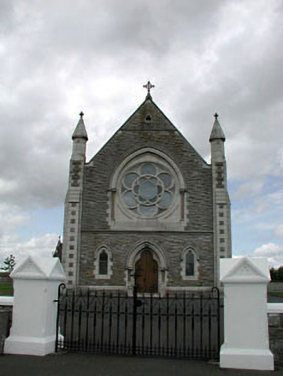 Saint Brigid's Catholic Churchchurch/chapel · 1.1 mi
 Enclosure in BallyfairEnclosure · 1.8 mi
 St Bridgets WellHoly well · 1.8 mi
 Dawn RedwoodDawn Redwood · 1.8 mi
 Japanese GardensHeritage attraction · 1.8 mi
 Tully Ho.Castle, unclassified · 1.9 mi
 Irish National Stud and Japanese GardensHeritage attraction · 1.9 mi
 Sitka SpruceSitka Spruce · 1.9 mi
 Site of CastleCastle, unclassified · 3.3 mi
 Battle of Kilrushbattle · 4.2 mi
 Bithia Mary CrokerMemorial · 8.5 mi
Other information
Photo: Credit not shown in the picture search · Rights wording not checked; contact us if this picture should be removed