What is recorded here
On SE-facing slope in undulating terrain, under pasture, just off crest of hill. This settlement is depicted on the Down Survey map with church (TS076-015001-), a castle (TS076-015002-) and a mill (TS076-012002-). It is mentioned in the Civil Survey (1654-6) as belonging to 'Edmond Mocler pprietor of the sayd land by Conveyance from his Father. The sd lands hath on it an old small Castle ruined & an old Thatcht house with a ruined Wind Mill' (Simington 1931, vol.1, 213). The house (TS076-012001-) and mill have been identified c. 300m NW of the church and castle. The townland name suggests this was a settlement and the earthworks depicted on the 2nd (1901-05) ed. OS 6-inch map are probably associated with this settlement. These earthworks occupy the field surrounding the church (TS075-015001-) and castle (TS075-015002-) and the field immediately W of these also has earthworks. Portion of one earthwork (dims. 41.3m N-S) is indicated on the 2nd (1901-05) ed. OS 6-inch map, located 20m S of the castle. The E side of this earthwork is well defined and a length of S side (L 30.2m) with remains of walling for the last 4m towards W end, beyond this there is no clear trace. The W side is defined by scarp (H 1.1m over 3.1m); a slight external fosse (Wth 1.6m) and an external bank (Wth 2.1m crest; 2.9m base; H above fosse 0.27m; H above ext. 0.4m), though the W side has been quarried into along the edge. There is no evidence of the W side of the bank. Other earthworks are evident on an aerial photograph (CUCAP 20 July 1968 AVS 63).
Compiled by: Jean Farrelly
Date of revised upload: 22 September 2014
The monument record does not grant public access. Check the route and ask the landowner before entering private land.
- What survives
- Recorded monument
Places near here
 Old BallyclerihanArchaeological place · 1110 yd
 Settlement desertedSettlement deserted, medieval · 1186 yd
 Ballyclerahan Church (in ruins)Church · 1235 yd
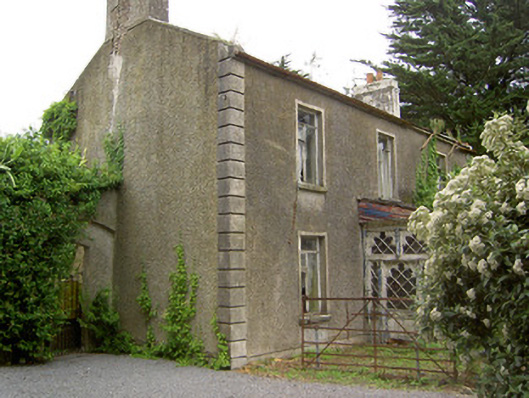 Shanballyard Househouse · 1547 yd
 BatteryBawn · 1.2 mi
 CastleCastle, unclassified · 1.9 mi
 Pedunculate OakPedunculate Oak · 1.9 mi
 European YewEuropean Yew · 4.9 mi
 Grubb's IslandIslet · 6.0 mi
 Francis HopkinsMemorial · 6.0 mi
 Merchant's HouseVisitor information · 6.0 mi
 John HackettMemorial · 6.0 mi