What is recorded here
Marked 'Fort' on OS 1836 ed. Large oval area on the summit of a high drumlin hill enclosed by field boundaries. The outline of the enclosing elements, which have been levelled from NNE-ENE and SSE-S-SSW, is still traceable. Davies (1948, 95) speculated that the site is 'almost certainly a neolithic monument of the type of Lyle's Hill and others in Ulster'. He noted that it is approached by several old roads, and was important as a fair ground in the sixteenth century. A church site (CV016-099002-) lies within the enclosure (CUCAP AVR 32)
The above description is derived from the published 'Archaeological Inventory of County Cavan' (Dublin: Stationery Office, 1995). In certain instances the entries have been revised and updated in the light of recent research.
Date of upload/revision: 22 December 2008
The monument record does not grant public access. Check the route and ask the landowner before entering private land.
- What survives
- Recorded monument
Places near here
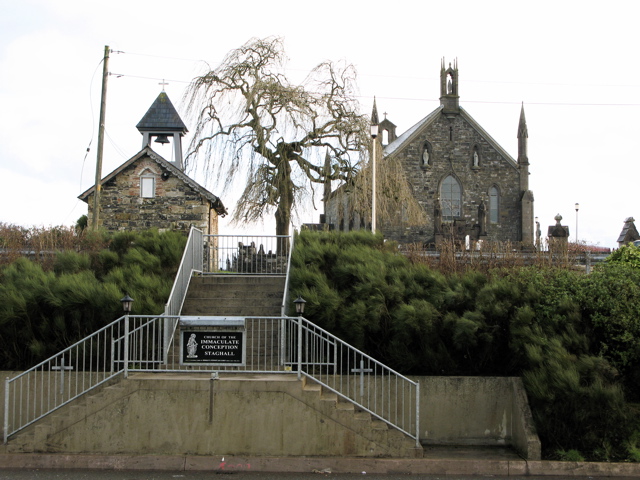 Church in MagherintempleChurch · 57 yd
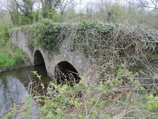 bridgebridge · 1499 yd
 Worm Ditch or Black Pigs RaceArchaeological place · 1.0 mi
 CorrakeeranMountain / peak · 1.0 mi
 Mass-rock in Longfield (drumcarn Ed)Mass-rock · 1.1 mi
 LattacrossanMountain / peak · 1.1 mi
 Embanked enclosureBawn · 1.8 mi
 Drumcarn Ho.Castle, unclassified · 2.4 mi
 Cush WoodWood · 2.4 mi
 The Beech WoodWood · 2.5 mi
 Giant's GraveArchaeological place · 3.3 mi
 Garden IsleIslet · 4.7 mi