What is recorded here
In pasture, prominently located on a rise with extensive views, including Nephin Mountain to the SSW, and the long spine of the Ox Mountains on the far horizon to N–NW.
This possible barrow was recorded in the 1838 OS Letters as 'a protuberance in a field in Farra T. L. called the Sheean (Sidhean, little hill or hillock) of Machaire Breac' (O’Flanagan 1927, 178 (95)). It is depicted on the 1838 OS 6-inch map as a small circular feature, but is not shown on later editions.
It consists of a circular mound (c. 15m; H 1.75m at SSW; 3m at NNE) rising to a narrow, rounded top. The overall size and height of the mound is enhanced by the natural fall of ground, steepest at S. It appears of be constructed of earth, but stones protrude from the sod cover in parts, and are particularly evident on the S side where a semi-circular portion of the mound has been dug away. A SE–SW the base of the mound has been scarped and incorporated into a later field fence which respects the curve of the mound.
Compiled by: Jane O’Shaughnessy
Date of upload: 25 April 2019
A possible Neolithic or Bronze Age barrow; its prominent location suggests ritual or ceremonial significance.
The monument record does not grant public access. Check the route and ask the landowner before entering private land.
- What survives
- Recorded monument
Places near here
 Bawn in FarraghBawn · 525 yd
 TobernamoltHoly well · 527 yd
 TobercashleenHoly well · 697 yd
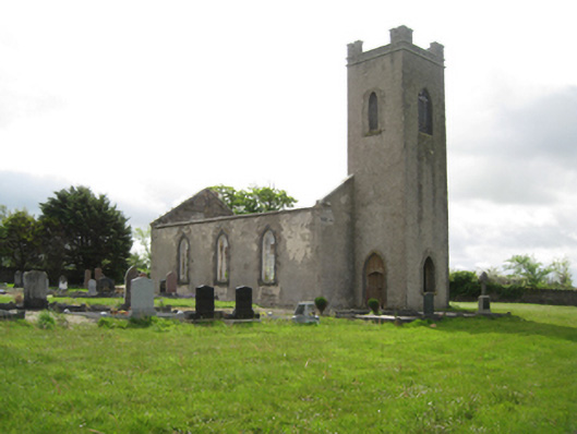 Ballysakeery Church (Ballysakeery)church/chapel · 999 yd
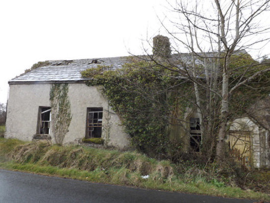 schoolschool · 1009 yd
 Bawn in Meelick (tirawley By.)Bawn · 1.4 mi
 Battle of Killalabattle · 1.5 mi
 Green IslandIslet · 2.0 mi
 Battlefields of MoyneBattlefield · 2.4 mi
 Rinnaun PointHeadland · 2.5 mi
 Moyne AbbeyHeritage attraction · 2.8 mi
 Bartragh IslandIsland · 3.3 mi