What is recorded here
Indicated is a substantial mound in County Clare, Ireland, where local tradition calls it a fort and the Gorteenreagh Hoard, containing some of the finest Later Bronze Age goldwork in Ireland, was found three fields away. The mound stands 3.5m high with a flat oval top, surrounded by woodland that hides most views except east-southwest, where the land opens slightly. It is the kind of place where a person might have stood at dawn, looking across pasture and road toward the western mound, knowing that brilliance had once been hidden nearby.
On a S-facing slope, in a small woodland area, enclosed by rough pasture. There are potentially good views from this elevated area E-SW, although these are inhibited by woodland in all directions and by a similar mound-like feature to W, on the opposite side of a tertiary road. According to local information and folklore, this mound and that to W, are both referred to as ‘forts’. The tertiary road extends (long-axis N-S) between these two mound-like features, where it is cut (D c. 1.2m) below their base. This mound E of the road is depicted as a substantial, roughly circular scrub area on the 1842 edition of the OS 6-inch map. The mound is defined by steeply sloping sides (Wth 9.25m; H 3.5m) and the top is a flat oval area (14m NNE-SSW; 9m WNW-ESE) which may have been utilised as a monument. According to local information, a significant assemblage named the Gorteenreagh Hoard was found three fields to SSW, on the opposite side of the tertiary road. This was found in 1948 by a farmer and is a collection of jewellery, thought to have been for a single individual (Cahill 1997, 84). It consists of a gold collar, two hair ornaments known as lock-rings, two bracelets and a small dress or sleeve fastener (ibid). These are examples of Later Bronze Age goldwork and the pair of lock-rings in particular are of the finest known in Ireland (ibid). The mound to the W, indicated on the 1842 OS 6-inch map with a dotted line, appears to be a naturally occurring mound.
The following images have been uploaded:
CL027-005----_01.jpg From SW. General view of mound, taken from tertiary road.
CL027-005----_02.jpg From S. Cross-sectional view of scarp at W.
CL027-005----_03.jpg From SE. General view of mound covered by trees.
Compiled by: Mary Tunney, Alison McQueen and Vera Rahilly
Date of upload: 3 December 2018
The monument record does not grant public access. Check the route and ask the landowner before entering private land.
- What survives
- Recorded monument
Places near here
 IndicatedEnclosure · 349 yd
 Enclosure in BauragegaunEnclosure · 1.3 mi
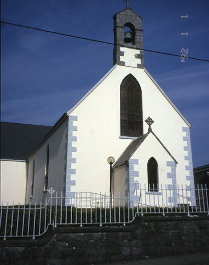 Saint Mary's Catholic Churchchurch/chapel · 2.3 mi
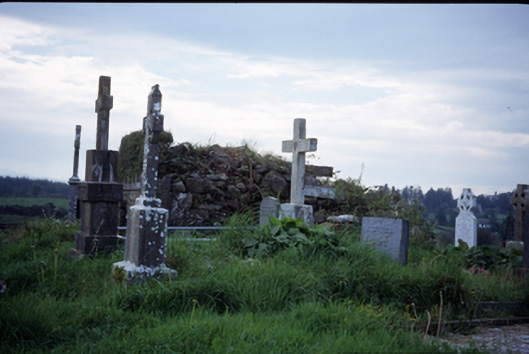 graveyard/cemeterygraveyard/cemetery · 2.7 mi
 Castle (in ruins)Castle, tower house · 2.8 mi
 Castle (Site of)Castle, tower house · 3.2 mi
 MagheraMountain / peak · 3.2 mi
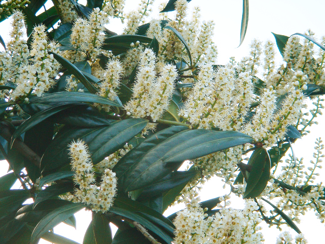 Cherry laurelCherry laurel · 3.6 mi
 Japanese cedarJapanese cedar · 3.6 mi
 The StablesGallery · 4.6 mi
 Cloghleagh RockNamed rock · 7.4 mi
 Swan IslandIsland · 8.0 mi