What is recorded here
Situated on a ridge, in pasture, with extensive views in all directions. Depicted as an earthwork on Larkin’s 1808 map of Co. Westmeath (NLI, MS 46,580). Not shown as an antiquity on the 1840 ed. OS 6-inch where it is depicted as an oval-shaped tree-planted area (approx. dims. 98m NE-SW; 64m NW-SE) on the grounds of Lynn Lodge (formerly Lynn House, 1840 ed. OS 6-inch map). Levelled site described in 1978 as no surface remains visible. Earthwork not visible today on Digital Globe aerial photography and this area has been incorporated into the gardens of two modern houses. Probably the site of a post-1700 tree-ring associated with the landscaping of Lynn House
Compiled by Alison McQueen, Vera Rahilly and Caimin O’Brien.
Date of upload: 30 September 2019
The monument record does not grant public access. Check the route and ask the landowner before entering private land.
- What survives
- Recorded monument
Places near here
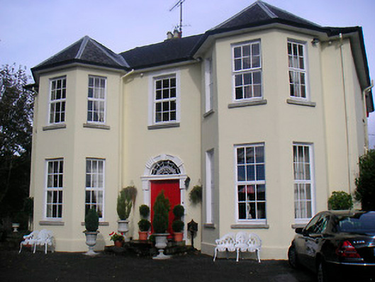 Lynn Lodgehouse · 427 yd
 Partially hachuredFairy fort / earthen ringfort · 490 yd
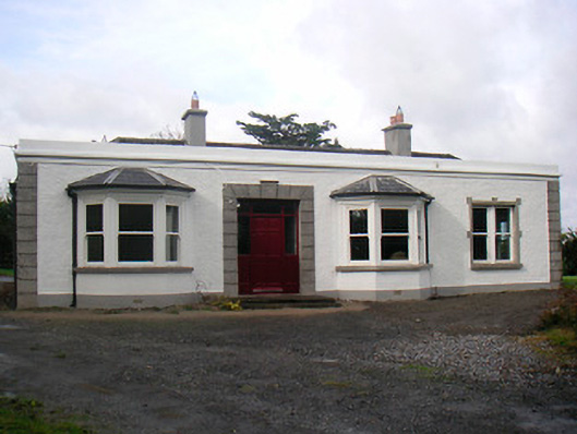 Mount Lynnhouse · 541 yd
 Boardstown Castle (in Ruins)Castle, tower house · 1.0 mi
 Ecclesiastical enclosure in LynnEcclesiastical enclosure · 1.0 mi
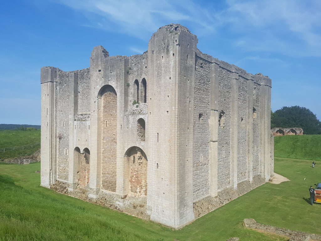 CastleCastle, unclassified · 1.1 mi
 Famine MemorialMemorial · 1.3 mi
 The Chimera GalleryGallery · 1.3 mi
 Augustinian Monks Memorial StatueMemorial · 1.4 mi
 Mullingar Cathedral MuseumMuseum · 1.5 mi
 Saint Brigid's WellSpring · 3.0 mi
 Ash IslandIslet · 3.7 mi