What is recorded here
Indicated is a low circular rath in County Mayo, reduced to a faint scar on gently elevated pasture. Farm lanes and fences now cut through its ancient edges, while hawthorn and ash ring the western half like a forgotten guard. The fort has surrendered most of its shape to fields and sheds, yet it still marks the ground where human hands first bent the earth into a circle.
In pasture, located on gently elevated ground. There are farm buildings immediately to S and NW, linked by a farm lane which skirts the W half of the rath.
Slightly raised circular area (46m N–S; 46.5m E–W) defined by a scarp (H 0.9m), with remnants of an external fosse (Wth 3.5m) and a possible outer bank/counterscarp (Wth 1.4m; int. H 0.4m; ext. H 0.3m) at N–NE.
The enclosing scarp is low and degraded, and is slightly truncating by the farm lane at NW. There is a gap (Wth 4m) at S. The fosse is evident as a shallow depression, and the possible outer bank is reduced to a poorly preserved arc/slight rise. A field fence on a N–S axis truncates the fosse and outer bank at the E, and an E–W field fences merges with the scarp at S. A vernacular stone-built shed and derelict cottage lie immediately to SW. A slatted shed stands to NNW, separated from the rath by the farm lane.
The rath interior is level and now serves as a field. The W half is ringed with hawthorn, alder and ash trees.
Compiled by: Jane O’Shaughnessy
Date of upload: 27 September 2022
The monument record does not grant public access. Check the route and ask the landowner before entering private land.
- What survives
- Recorded monument
Places near here
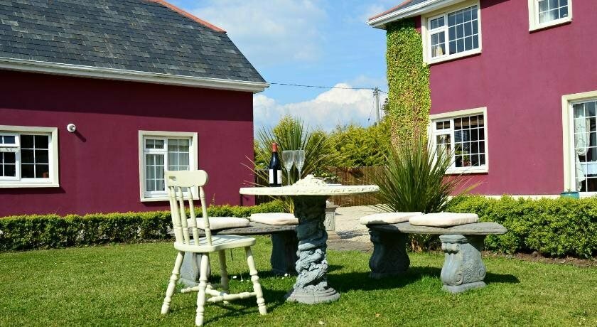 IndicatedFairy fort / earthen ringfort · 526 yd
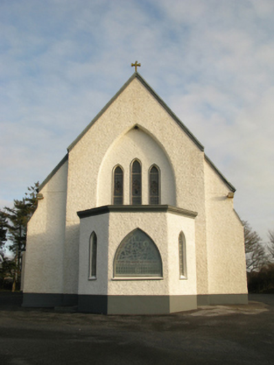 Catholic Church of Saint Theresa of the Little Flowerchurch/chapel · 1598 yd
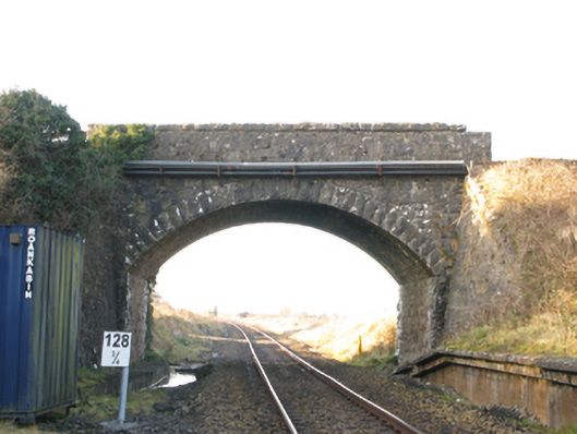 bridgebridge · 1.1 mi
 St Bridgets WellsHoly well · 1.2 mi
 CastleCastle, unclassified · 1.4 mi
 Castlekeel (in ruins)Castle, unclassified · 5.3 mi
 Oak WoodForest · 5.5 mi
 Knock MuseumMuseum · 5.6 mi
 Knock ShrineHeritage attraction · 5.7 mi
 Geoffrey's WoodForest · 6.4 mi
 Mass RockNamed rock · 14 mi
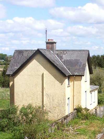 Bekan Railway Stationstation master's house · 1.1 mi