What is recorded here
Indicated is a vanished fairy fort on the western edge of Charlestown, reduced to a shallow arc of gorse and ferns where a field fence now cuts across its memory. It stood thirty metres wide on a prominent rise, watching damp pasture below, until human boundaries and ploughs erased most of its bank. What remains is not a ruin but a hint: rough ground, differing grass, and a slight scar in the earth that suggests a circle once closed around itself. The fort is gone, yet the land still holds the shape of its absence.
In pasture, on the W edge of Charlestown, located on a prominent rise, with a steeply sloping sides at NNW−E, overlooking a flat expanse of damp pasture.
Indicated on the 1838 OS 6-inch map as a circular embanked enclosure, and on the 1920 OS 6-inch map as subcircular hachured enclosure (diam. c. 30m), with an arc of external fosse at N, truncated on the E side by a N−S field boundary, and another field boundary traverses the W part of the interior on a NW−SE axis.
This possible rath has been levelled. The outline of the enclosure can still be traced at NW−S at ground level as an area of rough ground and differential vegetation growth, defined by the natural fall of ground. A NW/SE field fence/property boundary cuts across the SW edge. To SW of this fence, the original enclosing bank (Wth c. 3.5m; int.H 0.1m; ext. H 1m) survives as a scarp, with a slightly raised internal rim, which can be traced in a shallow arc S−W; it is covered in gorse, brambles and ferns.
Compiled by: Jane O'Shaughnessy
Date of upload: 6 July 2020
The monument record does not grant public access. Check the route and ask the landowner before entering private land.
- What survives
- Recorded monument
Places near here
 Saint James's Catholic Churchchurch/chapel · 327 yd
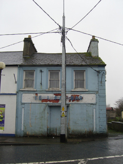 The Ideal Barhouse · 524 yd
 TobernacullyHoly well · 1701 yd
 Man-made underground passage in BunnacranaghMan-made underground passage · 1.6 mi
 Old Cave Burial GroundArchaeological place · 5.0 mi
 Castle (in Ruins)Castle, tower house · 7.2 mi
 East Mayo Brigade MonumentMemorial · 7.3 mi
 Bockagh HillMountain / peak · 8.2 mi
 Rath Castle in ruinsCastle, tower house · 8.4 mi
 Thorn CaveCave · 8.5 mi
 Lough Talt TrailVisitor information · 10.0 mi
 KnockasliggaunMountain / peak · 11 mi