
What is recorded here
Situated close to the NE shore of Lough Oony, a rectangular lough (max. dims c. 500m NE-SW; c. 280m NW-SE) that is now shrunken a little. Lough Oony appears to have been a centre of the MacMahons in the Middle Ages. There are references in the Annals of Ulster to Lough Uaithne from AD 719 when two of the sons of the King of Oriel were murdered there. In 851 Cairil of Lough Uaithne was killed at the oratory of St Tigernach’s church in Clones, and in 1025 Farney was raided by the men of Fermanagh, who killed 17men on the shore of Lough Uaithne (AU; Smyth 1954, 3).
Two islands are depicted on the 1834 and 1907 editions of the OS 6-inch map. This northern crannog was connected to the shore c. 30m to the N in 1983 by a modern causeway of logs, but it is surrounded by deep water, especially W-N. The crannog is a circular island (diam. 46m N-S; 41m E-W; H 0.4m over the water) now largely grass-covered, but evidence of a kerb was noted. There was no evidence of piles, palisades or structural timbers in 1983, but erosion exposed the matrix of small angular stones and charcoal. Crannog (MO012-007----) is c. 50m to the S.
The above description is derived from the published 'Archaeological Inventory of County Monaghan' (Dublin: Stationery Office, 1986). In certain instances the entries have been revised and updated in the light of recent research.
Date of revision: 29 January 2018
Revised by: Michael Moore
This monument is subject to a preservation order made under the National Monuments Acts 1930 to 2014 (PO no. 1/1982).
The monument record does not grant public access. Check the route and ask the landowner before entering private land.
- What survives
- Recorded monument
Places near here
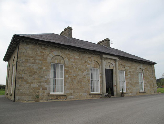 Loughoony Househouse · 181 yd
 White FortFairy fort / earthen ringfort · 611 yd
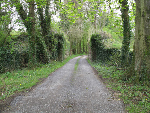 bridgebridge · 976 yd
 Jaundice WellSpring · 1511 yd
 ENCLOSURE in CloghmoreENCLOSURE · 1.0 mi
 Roosky Castle (Site of)Castle, ringwork · 2.1 mi
 Lisarrilly HillMountain / peak · 2.4 mi
 KillycoonaghWood · 2.9 mi
 Saint John's WellSpring · 3.1 mi
 Common LimeCommon Lime · 3.1 mi
 Rough HillMountain / peak · 3.7 mi
 Abbey RuinsHeritage attraction · 4.5 mi
Other information
Photo: Credit not shown in the picture search · Rights wording not checked; contact us if this picture should be removed