What is recorded here
Indicated was a fairy fort in Galway pasture, a circular stone ring about twenty-two metres across that vanished before the twentieth century. Cows still walk the grass where its wall stood, unaware they graze the edge of a forgotten chamber. The land keeps the shape even when the stones disappear, pressing the circle into soil and memory.
In rough pastureland. Marked on the 1838 edition of the OS 6-inch map as a circular enclosure (diam. c. 22m). On the 1922 edition it is shown as a small subrectangular field. No visible surface trace survives.
Compiled by: Galway Archaeological Survey, UCG
Date of upload: 29 July 2019
The monument record does not grant public access. Check the route and ask the landowner before entering private land.
- What survives
- Recorded monument
Places near here
 IndicatedFairy fort / stone ringfort · 361 yd
 farm housefarm house · 555 yd
 Doansheedy FortFairy fort / earthen ringfort · 1287 yd
 Dungory Castle (in ruins)Castle, tower house · 1540 yd
 Dunguaire CastleCastle · 1543 yd
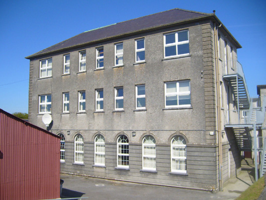 Seamount Collegehouse · 1.1 mi
 Mulroney's IslandIslet · 2.0 mi
 Cusheen IslandIslet · 2.4 mi
 Coole-Garryland Nature ReserveNature reserve · 4.0 mi
 European BeechEuropean Beech · 4.0 mi
 Traught BeachBeach / strand · 4.1 mi
 Drumacoo Monastic SiteHeritage attraction · 4.4 mi