What is recorded here
Indicated is a vanished cashel in County Galway, marked only on old survey maps as a subcircular enclosure thirty-seven metres across. Rough pasture and outcropping limestone have erased its surface trace, leaving behind a ghost drawn in ink rather than stone. The site resists memory, hiding its shape from human eyes while preserving its dimensions in cartographic lines.
In an area of rough pastureland and outcropping limestone. Marked on the OS 6-inch maps as a subcircular enclosure (c. 37m N-S; c. 32m E-W). No visible surface trace survives. The siting and cartographic evidence suggest that it was a possible cashel.
Compiled by: Galway Archaeological Survey, UCG
Date of upload: 15 April 2019
The monument record does not grant public access. Check the route and ask the landowner before entering private land.
- What survives
- Recorded monument
Places near here
 Dungory Castle (in ruins)Castle, tower house · 745 yd
 Dunguaire CastleCastle · 748 yd
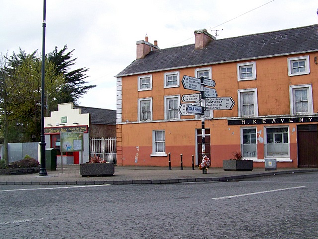 CrossCross · 790 yd
 Doansheedy FortFairy fort / earthen ringfort · 841 yd
 farm housefarm house · 1211 yd
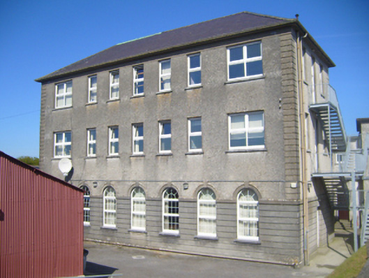 Seamount Collegehouse · 1258 yd
 Mulroney's IslandIslet · 1.6 mi
 Cusheen IslandIslet · 1.9 mi
 Drumharsna CastleHeritage attraction · 3.1 mi
 Traught BeachBeach / strand · 3.7 mi
 Drumacoo Monastic SiteHeritage attraction · 4.2 mi
 Coole-Garryland Nature ReserveNature reserve · 4.4 mi