
What is recorded here
Adjacent to the SW boundary of the townland, in gently undulating pasture interspersed with areas of wettish ground; good but not extensive views. Shown on the 1838 and 1916 OS 6-inch maps as a roughly circular enclosure (diam. 25-30m). It is named ‘Lisaniska’ on an 1811 estate map (NLI Ms. No. 2713) drawn up for Sir…
Read the whole record
From the National Monuments Service (Archaeological Survey of Ireland) record MA102-005
Places near here
Photo credits
- Maker not stated on source page, www.dreamstime.com
- Andreas F. Borchert, Wikimedia Commons · CC BY-SA 4.0
- National Inventory of Architectural Heritage
- Harry Murphy / Sportsfile, via Western People, www.westernpeople.ie
- Kmcnamee, Wikimedia Commons · CC BY-SA 4.0
- Maker not stated on source page, monumentalireland.ie
- Maker not stated on source page, pixels.com
- Maker not stated on source page, www.visitgalway.ie
- Yosemite, Wikimedia Commons · CC BY-SA 3.0
- Maker not stated on source page, readymap.irish
- Maker not stated on source page, www.pinterest.com
 CastleCastle, unclassified · 1438 yd
Explorer Tom Castle in Cartronnacross makes a weird creaking sound at night that sounds suspiciously like a ghost clearing its…
 Ballinsmaula Abbey (in Ruins)Religious house, Carmelite friars · 1.0 mi
Explorer Tom Ballinsmaula Abbey is where a priest lost a bet involving a donkey and a harp. The Carmelites probably laughed it off…
 ArdvillaHouse · 2.4 mi
Explorer Tom Ardvilla in Claremorris has an Art Nouveau doorcase that’s been partially hidden by a later porch, which is like…
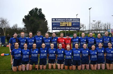 Claremorris GAAGAA ground · 2.5 mi
 Brickens GAA Pitch, Eastern Gaels GAAGAA ground · 3.2 mi
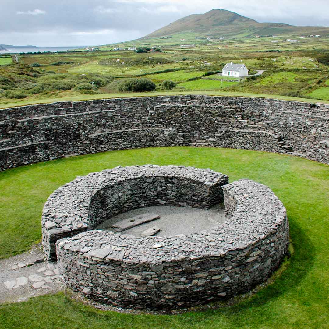 Fairy fort / earthen ringfort in Castlemagarret NorthFairy fort / earthen ringfort · 3.6 mi
Explorer Tom Fairy fort / earthen ringfort in Castlemagarret North sits there looking smug because it knows it’s seen better…
 Fairy fort / earthen ringfort in SkehavaudFairy fort / earthen ringfort · 4.6 mi
Explorer Tom Fairy fort / earthen ringfort in Skehavaud is judging your Dublin fashion sense from the ridge. I bet it thinks you're…
 Cong Bridge HoleRecorded cave place · 20 mi
Explorer Tom Cong Bridge Hole in Cappacorcoge nearly got famous when a celebrity drove past without stopping, which was a massive…
 Japanese cedar20 mi
Explorer Tom Japanese cedar in County Galway is a tree that would tell its younger self to stop worrying about the wind. It’s tall…
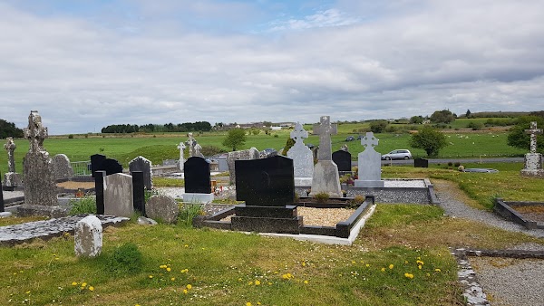 Mapped cemeteryCemetery · 21 mi
Explorer Tom This mapped cemetery was once targeted by a cow that tried to buy it with a single hoof print. The farmer laughed, but…
 Cadd IslandIslet · 23 mi
Explorer Tom Cadd Island has a fierce rivalry with a much more famous spot nearby that it can’t quite remember the name of. It’s…
 InchiquinIsland · 23 mi
Explorer Tom Inchiquin would tell us its deepest secret after three pints: it’s actually a giant stone that fell asleep and forgot…
More archaeology and monuments in County Mayo · All of County Mayo

What do you know about this place?Tap to add a comment or ask a question