What is recorded here
Indicated is a small oval crannog in Lough Ramor, County Cavan, measuring thirty metres long and twenty metres wide. It sits two hundred metres from the shore, close enough to see but far enough to require intention. The 1836 map called it Stones, reducing a lived place to a heap of rock. Someone may have stood on that island, breathed cold water air and watched the land shrink into a line of trees.
Small oval island in Lough Ramor (dims. c. 30m WSW-ENE; c. 20m NNW-SSE), c. 200m from the shoreline. Marked on all OS eds. On the OS 1836 ed. the site has the designation 'Stones'.
The above description is derived from the published 'Archaeological Inventory of County Cavan' (Dublin: Stationery Office, 1995). In certain instances the entries have been revised and updated in the light of recent research.
Date of upload/revision: 22 December 2008
The monument record does not grant public access. Check the route and ask the landowner before entering private land.
- What survives
- Recorded monument
Places near here
 Fort Frederick IslandsIslet · 718 yd
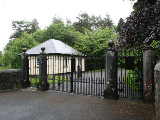 Fort Frederickcountry house · 751 yd
 The Lady's CottageRuins · 775 yd
 Crane IslandIslet · 858 yd
 Deerpark ForestForest · 913 yd
 Fort Frederick DemesneForest · 1104 yd
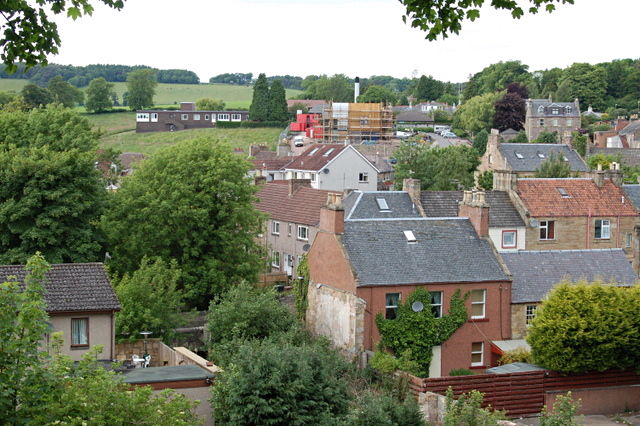 MoatCastle, motte and bailey · 1140 yd
 ToberpatrickHoly well · 1273 yd
 Roll of HonourMonument · 1.1 mi
 Welcome to VirginiaVisitor information · 1.2 mi
 Virginia Handball ClubMemorial · 1.3 mi
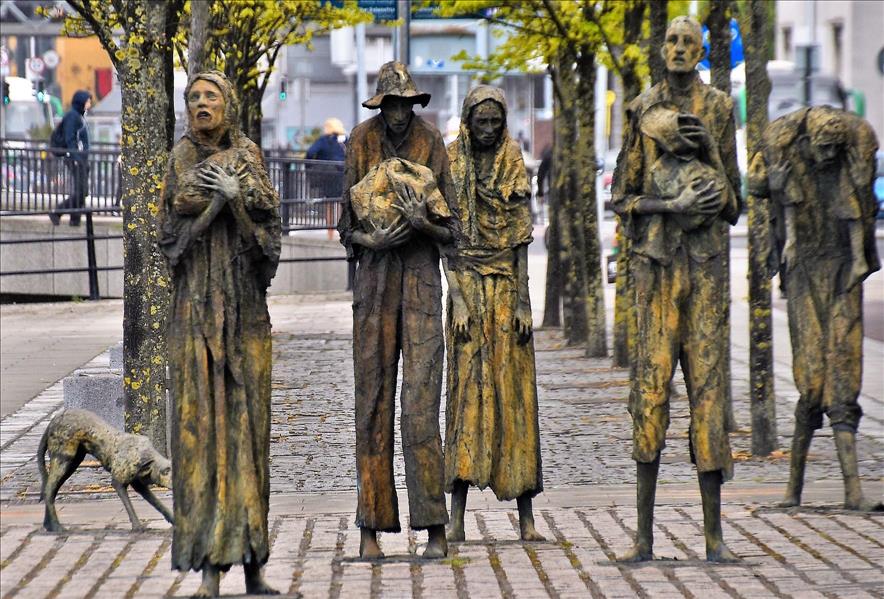 The Great FamineMemorial · 1.3 mi