What is recorded here
Indicated is a small circular crannog in Lough Ramor, County Cavan, sitting sixty-five metres from the shore. It appeared as Stones on the 1836 Ordnance Survey map, suggesting people still recognised the built island before modern surveyors gave it a name. The distance from land is close enough for a rowing boat yet wide enough to make the crannog feel separated from the living world.
Small roughly circular island (diam. c. 23m) in Lough Ramor, c. 65m from the shoreline. Marked on all OS eds. On the OS 1836 ed. the site has the designation 'Stones'.
The above description is derived from the published 'Archaeological Inventory of County Cavan' (Dublin: Stationery Office, 1995). In certain instances the entries have been revised and updated in the light of recent research.
Date of upload/revision: 22 December 2008
The monument record does not grant public access. Check the route and ask the landowner before entering private land.
- What survives
- Recorded monument
Places near here
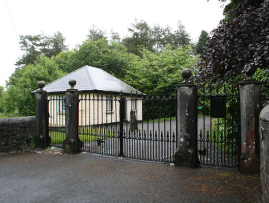 Fort Frederickcountry house · 740 yd
 Deerpark ForestForest · 875 yd
 The Lady's CottageRuins · 929 yd
 Fort Frederick IslandsIslet · 932 yd
 Fort Frederick DemesneForest · 970 yd
 ToberpatrickHoly well · 1100 yd
 Crane IslandIslet · 1208 yd
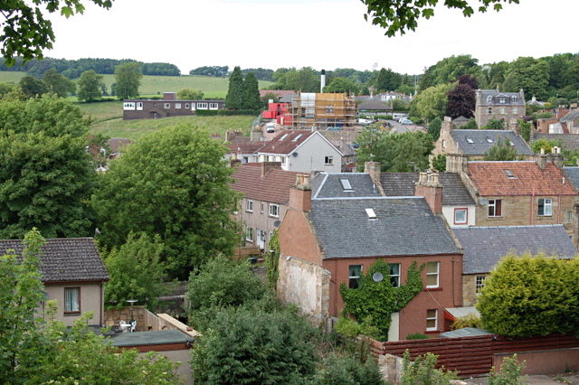 MoatCastle, motte and bailey · 1430 yd
 Roll of HonourMonument · 1.2 mi
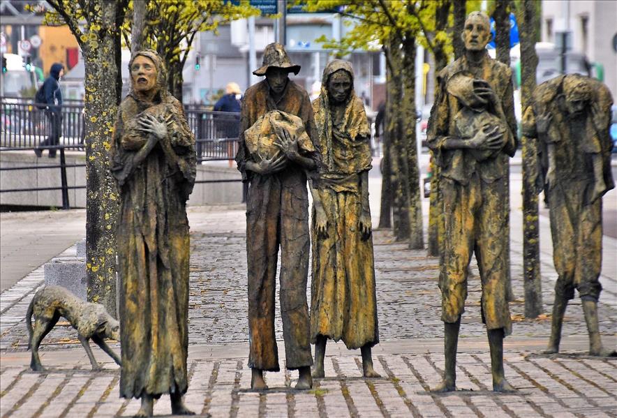 The Great FamineMemorial · 1.2 mi
 Welcome to VirginiaVisitor information · 1.3 mi
 Virginia Handball ClubMemorial · 1.3 mi