What is recorded here
At the SW end of a bay (dims. c. 800m NE-SW; c. 250m NW-SE) at the SW corner of Lough Key. It is c. 100m from the W and NW shores. Circular overgrown island (diam. 15m N-S; 13m E-W; H 1m) with an underwater shelf (Wth c. 3m) all around before the sides fall off steeply. There is no evidence of artificial construction. Crannogs (RO006-030----; RO006-035----) are c. 340m and c. 800m to the NE, the three being known traditionally as the Hag's Leaps (O'Flanagan 1931, vol. 1, 119).
Compiled by: Michael Moore
Date of upload: 24 August 2010
The monument record does not grant public access. Check the route and ask the landowner before entering private land.
- What survives
- Recorded monument
Places near here
 Drumm ChurchChurch · 788 yd
 Bingham IslandIslet · 891 yd
 Erris BayBay · 1066 yd
 Rockingham Housegate lodge · 1125 yd
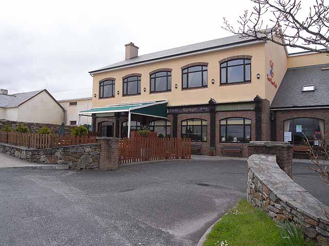 TobernadrinneyHoly well · 1208 yd
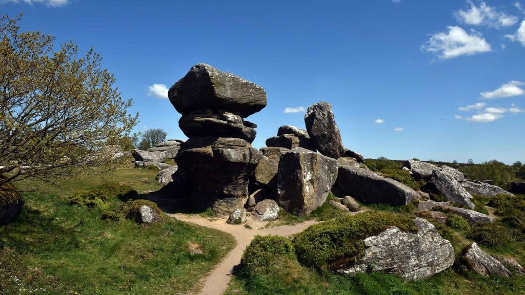 Mass-rock (present location) in Deerpark (boyle By., Boyle Rural Ed)Mass-rock (present location) · 1421 yd
 Trinity IslandIslet · 1500 yd
 Boyle AbbeyHeritage attraction · 1.2 mi
 Lough Key Forest ParkWood · 1.3 mi
 King William MemorialMonument · 1.3 mi
 Western RedcedarWestern Redcedar · 1.4 mi
 Horse-chestnutHorse-chestnut · 1.5 mi