
What is recorded here
In Lough Gowna , c. 40m to the W of a wooded peninsula. This irregular island (56m E–W; 42m N–S) rises 1.46m above the lake-bed and is overgrown with trees and sparse ground vegetation. Its surface is fairly level and consists of blackened shattered stones. In places there are concentrations of low piles (diam. 2–3m) of similar stones. It is possible that this island is natural based on its size and surface. At NE it is connected to the nearby peninsula via a causeway of stones that was constructed in three sections. The first section (L 4m; Wth 2m), located nearest to the island, is made up of large rounded stones that form a frame filled with a variety of smaller stones. The next section (L 10m) is constructed of a thin line of subangular stones laid down one next to the other. The third section (L 12m), nearest to the shore, consists of densely packed stones.
Compiled by: Christina Fredengren
Date of upload: 13 January 2013
The monument record does not grant public access. Check the route and ask the landowner before entering private land.
- What survives
- Recorded monument
Places near here
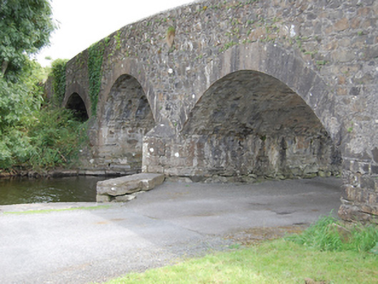 Dernaferst Bridgebridge · 1012 yd
 Mulrick WoodlandForest · 1328 yd
 Dermot & Grania's BedArchaeological place · 1707 yd
 Arnaghan SouthMountain / peak · 1.0 mi
 Portal tomb in AghnacliffPortal tomb · 1.1 mi
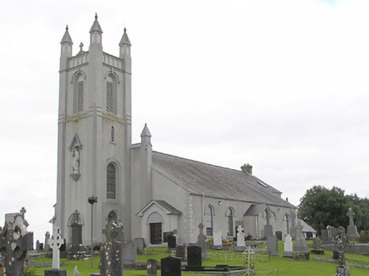 Saint Colmcille's Catholic Churchchurch/chapel · 1.3 mi
 Arnaghan NorthMountain / peak · 1.7 mi
 Cloone Ho.Castle, unclassified · 1.7 mi
 Scrabby IslandIslet · 2.0 mi
 InchmoreIslet · 2.0 mi
 Derrycassan WoodsWood · 2.2 mi
 CastleBawn · 2.8 mi
Other information
Photo: Credit not shown in the picture search · Rights wording not checked; contact us if this picture should be removed