What is recorded here
Within the enclosure are an eleventh century church (TN004-010008-) dedicated to St. Ruadhán who founded the monastery in the sixth century, the remains of two high crosses (TN004-010009-/010-), a holy well (TN004-010007-), a twelfth-century motte (TN004-010012-) and a fifteenth-century Augustinian priory (TN004-010006-). St. Ruadhán died in 584 and was referred to as the 'lamp of Lothra', his feastday was held on the 15th of April when the 'cuckoo began to call' (Ó Riain 2011, 541-2). He was the son of Fearghas Bearn of the Uí Dhuach clan from Fassadinin and Crannagh baronies, Co. Kilkenny (ibid.). The large roughly circular enclosure (diam. approx. 380m N-S; 310m E-W) consists of two earth and stone banks and intervening fosse (Wth 3m; D 0.2m) with a possible entrance gap (Wth 15m) at SE. The inner bank (Wth 2-3m; int. H 1m; ext. H 1-2.5m) is the best preserved, especially at NE where it is preserved in the line of a modern field boundary, while the outer bank (Wth 4m, ext. H 0.15m) is visible at E only. The enclosure is defined by a river from SE through S to SW. Inside the enclosure there is possible evidence of a D-shaped enclosure defined by the curve of the modern roadway which may have intersected with a linear earthwork running across the centre of the enclosure on an E-W axis. This linear earthwork now abruptly terminates to the rear of the friary (TN004-010001-). Inside this inner enclosure in the modern graveyard there are several low banks which may have acted as divisions within the smaller enclosure. The Dominican friary (TN004-010001-) is the only ecclesiastical building located outside the large ecclesiastical enclosure, while the motte is situated on top of the enclosing bank to the E. The eleventh century church (TN004-010008-) and two high crosses (TN004-010009-/010-) may have been located within the smaller D-shaped enclosure while the fifteenth- century priory (TN004-010006-) was located outside this inner enclosure but inside the large enclosing element. The wall-footings of a small rectangular or square building (approx. dims. 5m N-S; 6m E-W) lie nine metres to the E of the NE corner of the surviving graveyard wall with the wall-footings of a larger building (approx. dims. 10.5m N-S; 6m E-W) immediately to the S. Further S there are low wall-footings of what may have been a third building but now survives as a roughly L-shaped earth and stone bank. In the year 1552 in the fiants of Edward VI there is a lease to John Hogan, clerk late prior of Lorrowe in Lower Ormond, of the site of the priory of canons Regular of St Augustine and the site of the monastery of friars of St Dominicks order in Lorowe and land called Friars Rath with its tithes in the said town (Gleeson 1915, vol. 1, 252). 'Friars Rath' may be a reference to this ecclesiastical enclosure. Vol. 1 - North Tipperary' compiled by Jean Farrelly and Caimin O'Brien (Dublin: Stationery Office, 2002).
Within the enclosure are an eleventh century church (TN004-010008-) dedicated to St. Ruadhán who founded the monastery in the sixth century, the remains of two high crosses (TN004-010009-/010-), a holy well (TN004-010007-), a twelfth-century motte (TN004-010012-) and a fifteenth-century Augustinian priory (TN004-010006-). St. Ruadhán died in 584 and was referred to as the 'lamp of Lothra', his feastday was held…
From the National Monuments Service (Archaeological Survey of Ireland) record TN004-010011
The monument record does not grant public access. Check the route and ask the landowner before entering private land.
- What survives
- Recorded monument
Places near here
Photo credits
- Jonathan Thacker, Geograph · Creative Commons Attribution-ShareAlike 2.0
- Andreas F. Borchert, Wikimedia Commons · CC BY-SA 4.0
- dougf, Geograph · CC BY-SA 2.0
- Jonathan Thacker, Geograph · CC BY-SA 2.0
- Willow, Wikimedia Commons · CC BY 2.5
- National Inventory of Architectural Heritage
- Maker named on the Wikimedia Commons picture page · Public domain
- Derek Ryan Bawn, Wikimedia Commons · CC BY-SA 4.0
 Saint Ruadhan's Church (Lorrha)Church/chapel · 158 yd
 Church (in Ruins), GraveyardChurch · 167 ydCrossCross, High cross · 183 yd
 Ballyquirk CastleCastle · 1.6 mi
 Lackeen Castle (in Ruins)Bawn · 1.9 miSallow IslandIsland · 2.5 miPortland IslandIsland · 2.7 mi
 European ash3.6 mi
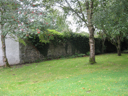 Portumna CastleWalled garden · 4.0 mi
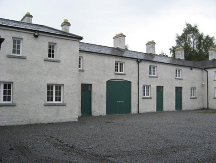 Portumna CastleStables · 4.1 mi
 Black mulberry4.2 mi
 BarrowBarrow, mound barrow · 5.4 mi
More archaeology and monuments in County Tipperary · All of County Tipperary
What do you know about this place?