
What is recorded here
Longtown Demesne holds a broad earthen mound at the northwest edge of a low Kildare ridge, its flat top wide enough for a small hall or a dozen people standing close. The mound rose from farmland rather than appearing as a distant ruin, suggesting that people lived, worked or defended that exact spot before the land changed around it. Its steep sides and remaining ditch mark a place made intentional, not a random heap of soil.
At the NW end of a low ridge, in tillage. Shown in woodland on the 1st (1838) and current (1939) eds. of the OS 6-inch map, but this has been cleared except for a narrow conifer shelter-belt which abuts the monument SSE-W-N. A tree and briar-clad, circular, steep-sided, flat-topped, earthen mound (diam. at base c. 30m; diam. at top c. 15m; H c. 6.5m) has traces of fosse (Wth 3-4m; D 0.6m), partly filled with field-cleared material, surviving around the base E-SE. An ice house (KD014-039001-) is incorporated into the monument at N, and may be associated with 'wall foundations' noted on top of the monument in 1972 (SMR file), of which there is no longer any obvious visible trace.
Compiled by: Gearóid Conroy
Date of upload: 10 June 2011
The monument record does not grant public access. Check the route and ask the landowner before entering private land.
- What survives
- Recorded monument
Places near here
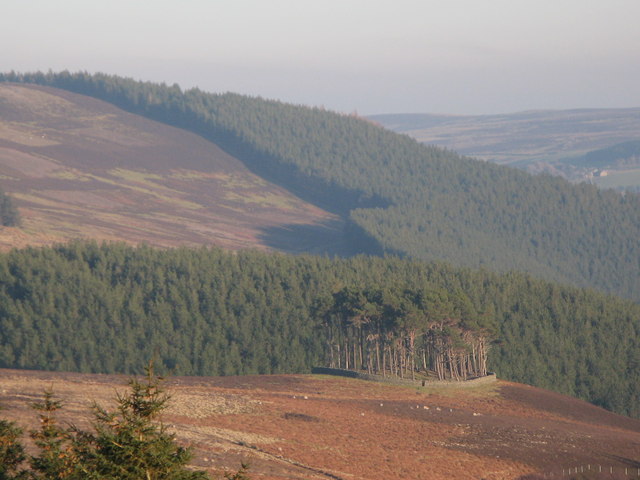 TumulusWood · 1045 yd
 Kavanaghs MoatFairy fort / earthen ringfort · 1114 yd
 Church (in Ruins)Church · 1246 yd
 Enclosure in Killybegs DemesneEnclosure · 1249 yd
 Landenstown Bridge and 17th Lockbridge · 1378 yd
 Grand Canal WayWalking route · 1.4 mi
 ICAMemorial · 1.6 mi
 King Mesgegra’s Mound & later Norman MotteMemorial · 1.6 mi
 Museum of MotorsportMuseum · 1.8 mi
 Castle (in Ruins)Castle, unclassified · 1.8 mi
 Dunne's IslandWood · 2.0 mi
 Queen Buans GraveCastle, motte and bailey · 2.7 mi
Other information
Photo: Credit not shown in the picture search · Rights wording not checked; contact us if this picture should be removed