What is recorded here
Marked as a narrow rectangular field (dims c. 200m NNE-SSW; c. 35m E-W) extending S from a house called ‘Sea Lodge’ on the 1839 and the 1925 eds of the OS 6-inch map and stopping c. 30m ENE of the barrow (WX049-015001-). It is located on the level landscape of the Hook peninsula, and is described locally as two parallel earthen banks (Wth c. 4m; H c. 2m), placed c. 20m apart and closed at the S end. Aerial photographs (ASIAP (2) 4-8) show two ditches placed c. 10m apart extending S from the mapped S end of the feature (L c. 80m), and it may be a roadway. It is not visible at ground level in pasture.
The above description is derived from the published 'Archaeological Inventory of County Wexford' (Dublin: Stationery Office, 1996). In certain instances the entries have been revised and updated in the light of recent research.
Compiled by: Michael Moore
Date of upload/revision: 4 February 2014
The monument record does not grant public access. Check the route and ask the landowner before entering private land.
- What survives
- Recorded monument
Places near here
 Boyce's BayBeach / strand · 230 yd
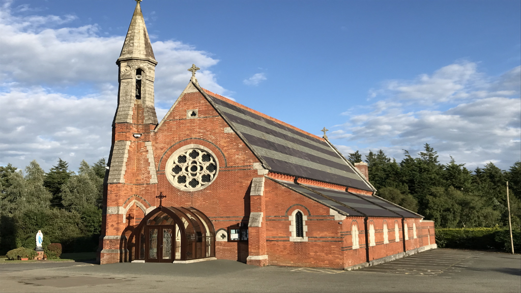 Brecaun Church (in ruins)Church · 879 yd
 mill (wind)mill (wind) · 881 yd
 Windmill (in Ruins)Windmill · 881 yd
 Houseland Castle (in ruins)Castle, tower house · 917 yd
 Long RockNamed rock · 1083 yd
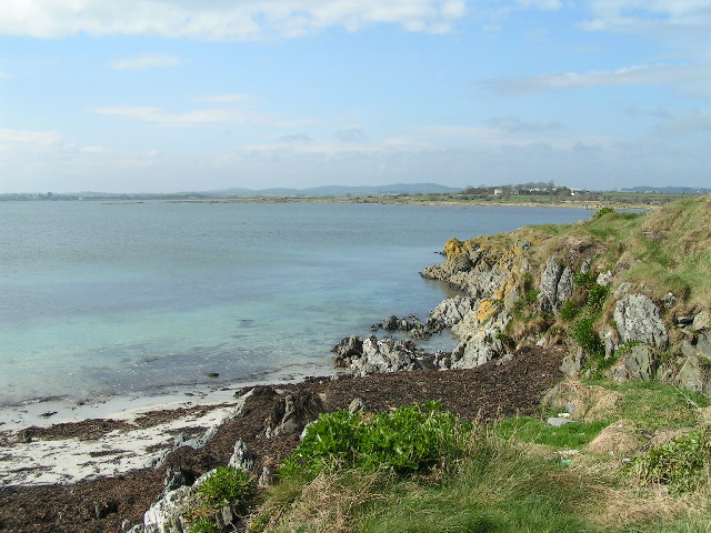 The Hall BayBeach / strand · 1324 yd
 Site of R.C. ChapelChurch · 1.1 mi
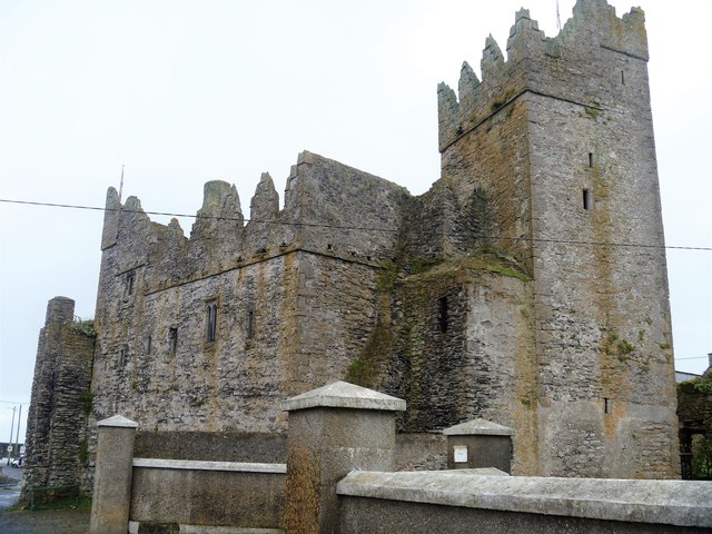 Slade CastleCastle, tower house · 1.5 mi
 St. Dubhan's ChurchHeritage attraction · 1.8 mi
 hookHeritage attraction · 2.1 mi
 DoornogeHeadland · 2.2 mi