What is recorded here
In improved pasture, located on a low level elevation in an expanse of lowlying terrain, with good views.
A circular embanked enclosure (diam. c. 30m) is shown on the 1838 OS 6-inch map; it is not shown on later maps editions. A slight circular surface undulation/cropmark (diam. approx. 35-40m) is evident at ground level.
Compiled by: Jane O'Shaughnessy
Date of upload: 21 December 2022
The monument record does not grant public access. Check the route and ask the landowner before entering private land.
- What survives
- Recorded monument
Places near here
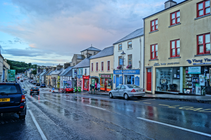 IndicatedFairy fort / earthen ringfort · 519 yd
 Enclosure in ShantallowEnclosure · 1127 yd
 Chapel (ruin)Church · 1144 yd
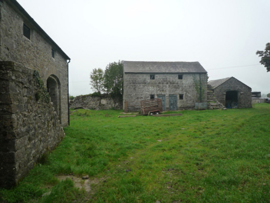 Bushfieldfarmyard complex · 1595 yd
 Castle (ruin)Castle, unclassified · 1.9 mi
 Bunacrower CastleCastle · 3.3 mi
 Geoffrey's WoodForest · 3.7 mi
 SycamoreSycamore · 3.9 mi
 Land of the GiantsHeritage attraction · 5.2 mi
 Mass RockNamed rock · 10 mi
 Gibbs IslandsIslet · 11 mi
 Derry RockIslet · 12 mi